The Ecosystemic Belt
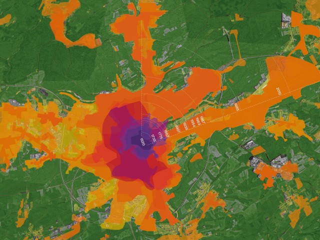
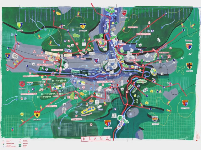
The most densely populated region of Luxembourg is experiencing sustained exponential growth over the past two decades, with current projections showing no change to this trend. Recognizing that the livelihood of this growing urban agglomeration depends on the ecosystem that supports it, the mission for a green belt project was drafted. This territorial vision, drawn up as part of the Master Programme for Spatial Planning (PDAT), seeks to foster a common framework, an ecosystemic belt, shared across the municipalities of the Agglo-Centre region of Luxembourg. The aim is to develop an urban structure that addresses major challenges in this area, while limiting the human footprint over natural resources.
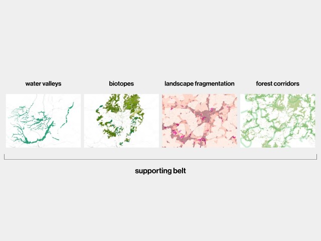
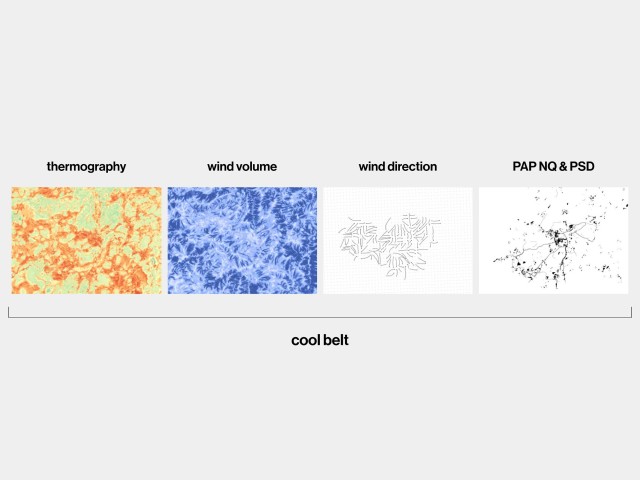
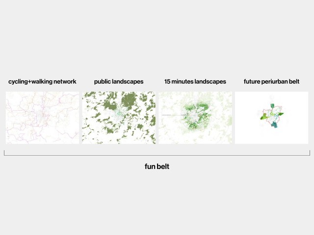
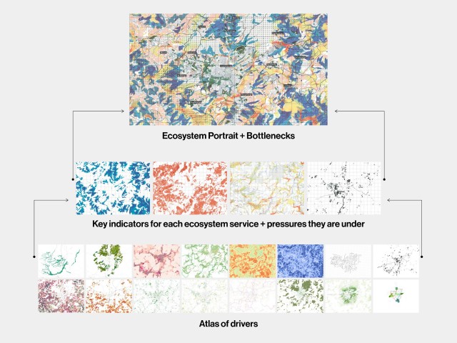
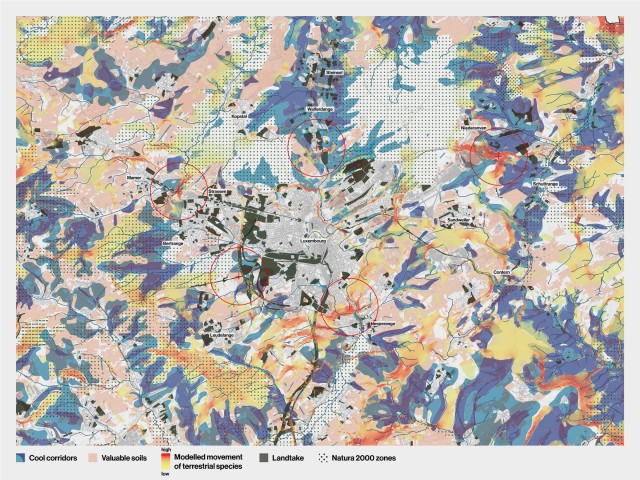
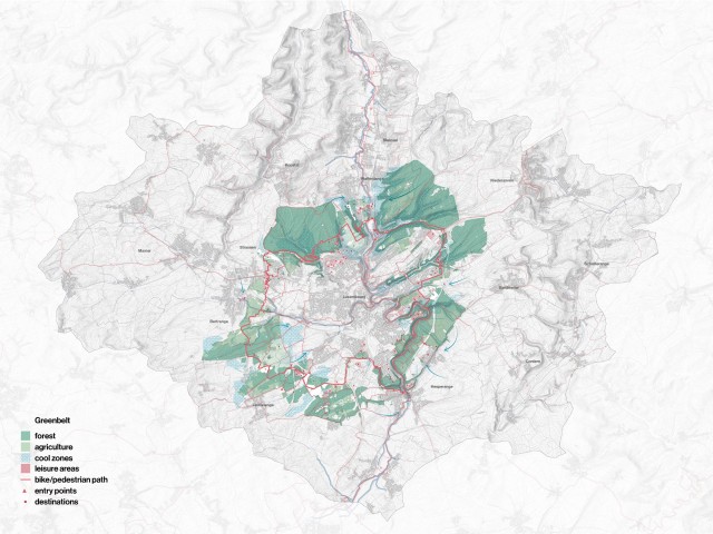
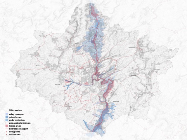
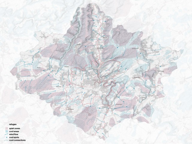
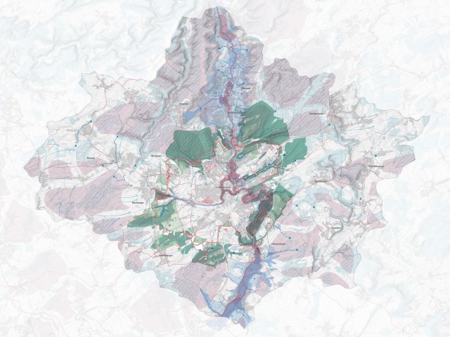
Our study starts from an extensive site analysis and diagnosis, utilizing advanced data analytics and snowball interviews to map challenges and design a refuge for all. We identified publicly accessible areas which benefit from cool corridors and remain quiet refuges protected from surrounding noise pollution. This was followed by designing and connecting existing and new trails for hiking and cycling to achieve ease of access for all municipalities to a variety of landscape features. In addition, key biodiversity corridors under threat were identified to be preserved and enhanced, in addition to mapping zones for wildlife refuges, where developments would not be permitted. The plurality of interventions and proposed pilot projects were visualised and presented in three narratives: the greenbelt, the valley system and the refuge islands.
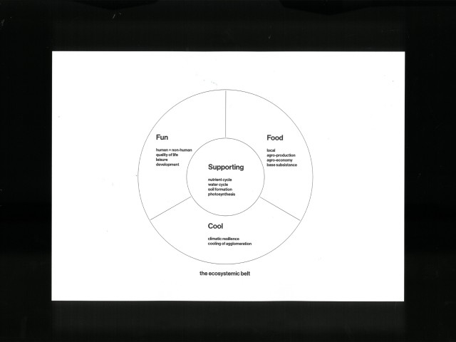
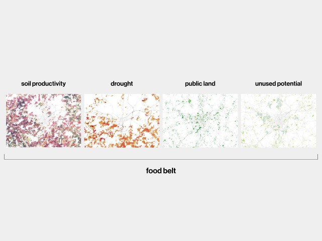
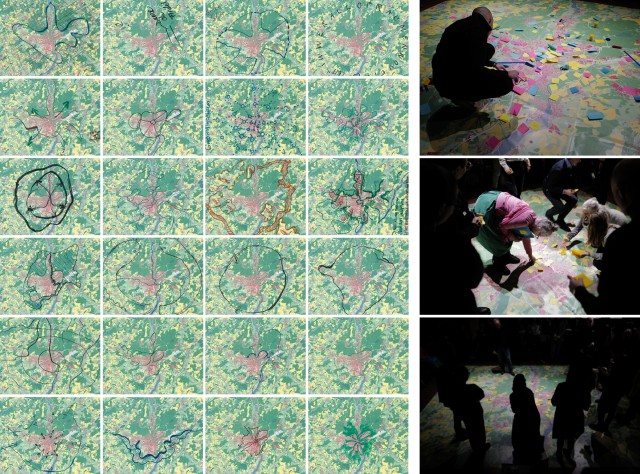
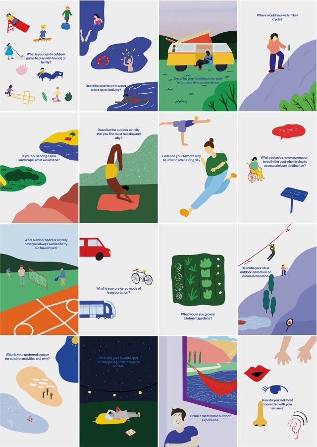
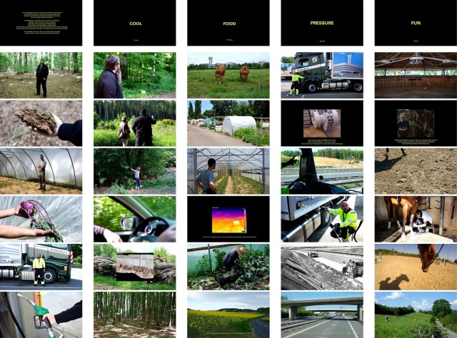
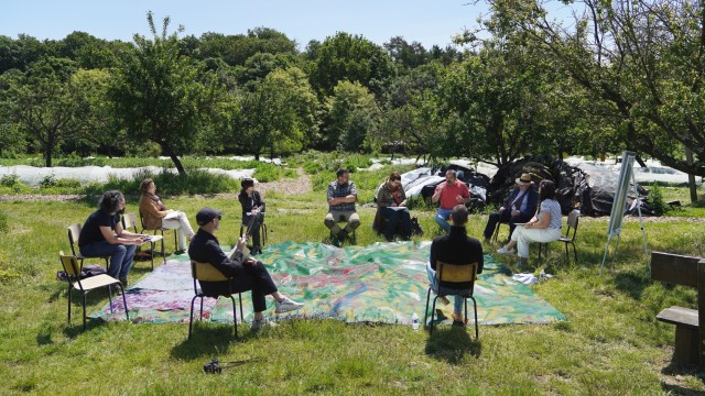
Parallel to this study, 51N4E carried out a series of on-site work sessions with representative stakeholders, with themes that seek to define alternatives to growth (Growth), supporting and regulating ecosystemic services (Cool), provisional services (Food) and cultural services (Fun). These work sessions were located within symbolic transition areas and became the first act towards a pilot project. In addition to the work sessions, one-on-one interviews were carried out with experts from a variety of fields. These inputs provided a qualitative analysis alongside the quantitative methodology, and raised awareness about priorities felt on the ground, and the blind spots of data.
This fieldwork was further developed into a documentary that follows four practitioners over the course of a day in the study region, each representing one of the four themes. This provided us with an unfiltered portrayal of the everyday practices which will be affected the most. The results of the documentary and interviews will be featured on a dedicated website and in future exhibitions of the green belt project.
-
Location
Luxembourg city, Luxembourg
-
Client
Ministry of Spatial Planning & Energy - DATER
-
Study
2022-2023
-
In collaboration with
2001, Komobile, Konig, LOLA, Peter Marcus Bach, Weichold
-
51N4E project team
Aya Akbib, Arya Arabshahi, Chloé Nachtergael, Ana Popovic, Maria Vollas
-
51N4E involvement
Territorial strategy, project Management, spatial planning, data visualisation, land use planning
-
Programme
Climate adaptive land use plan
-
Study costs
€190.000
-
Image credits
51N4E, 2001, LOLA
-
Documentary credits
Valentin Bansac, Mike Fritsch, Alice Lourneau