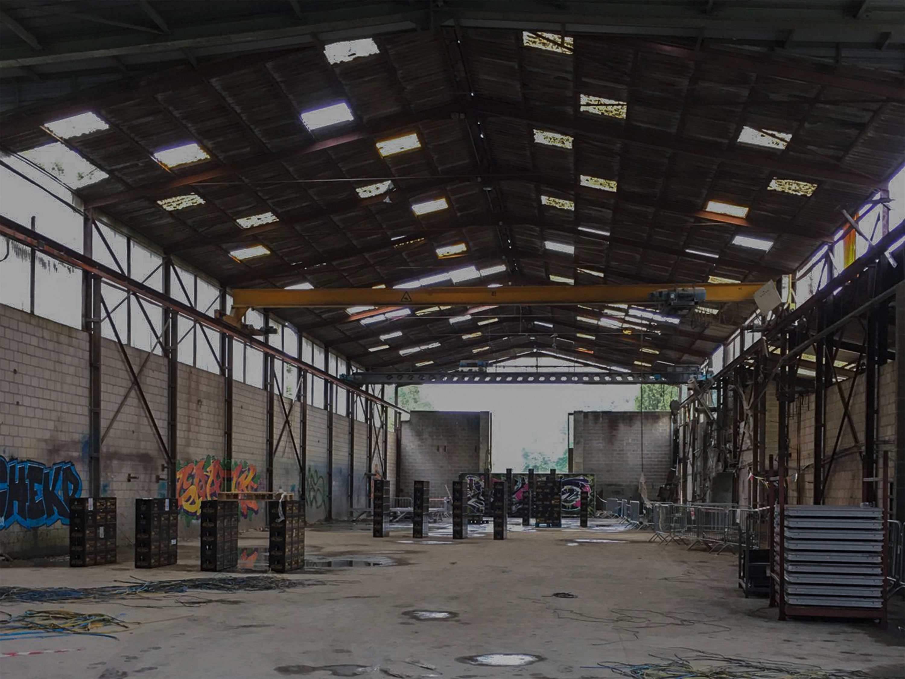
Adaptive infrastructure strengthens the relation between built networks and shared living environments.
When does infrastructure become a lived environment?
When does infrastructure become a lived environment?
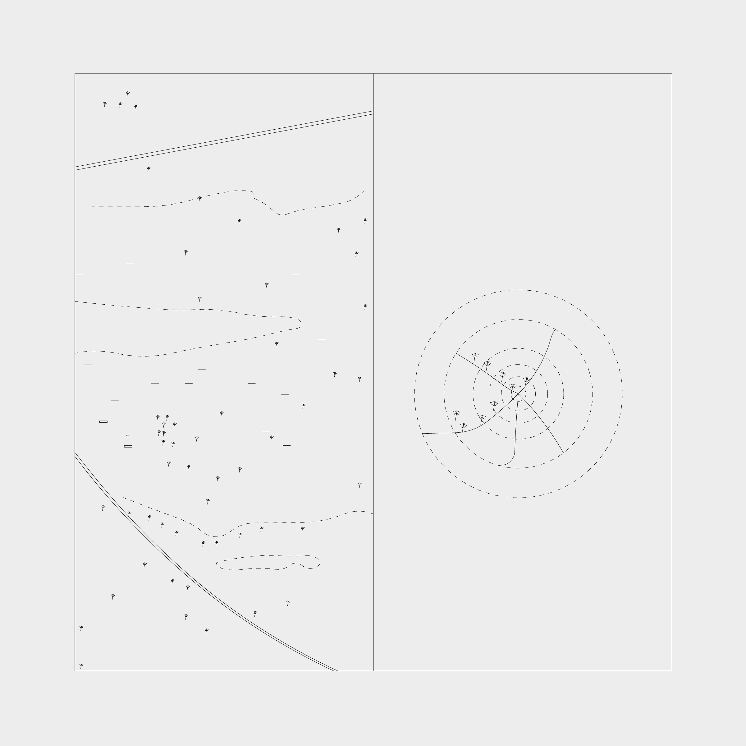
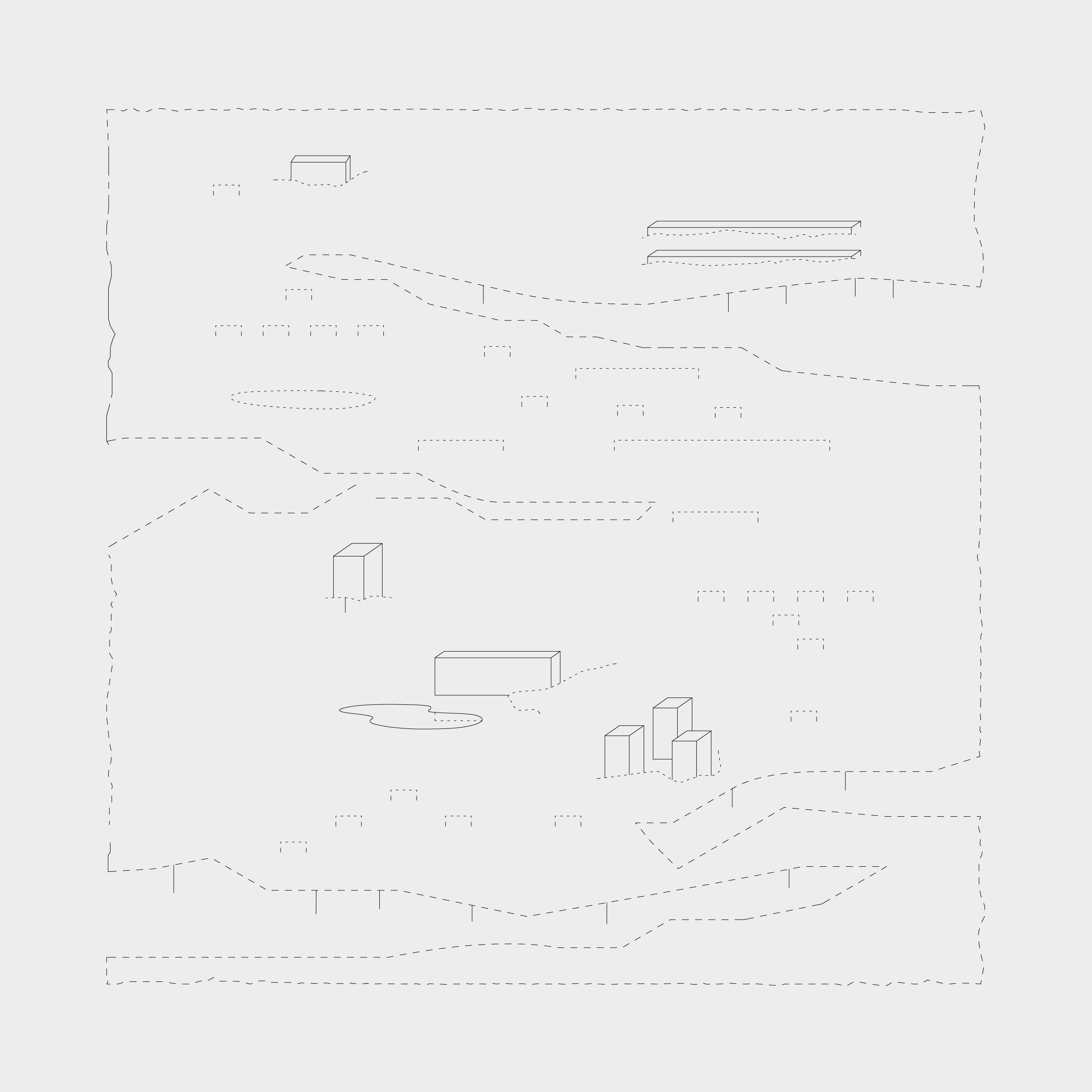
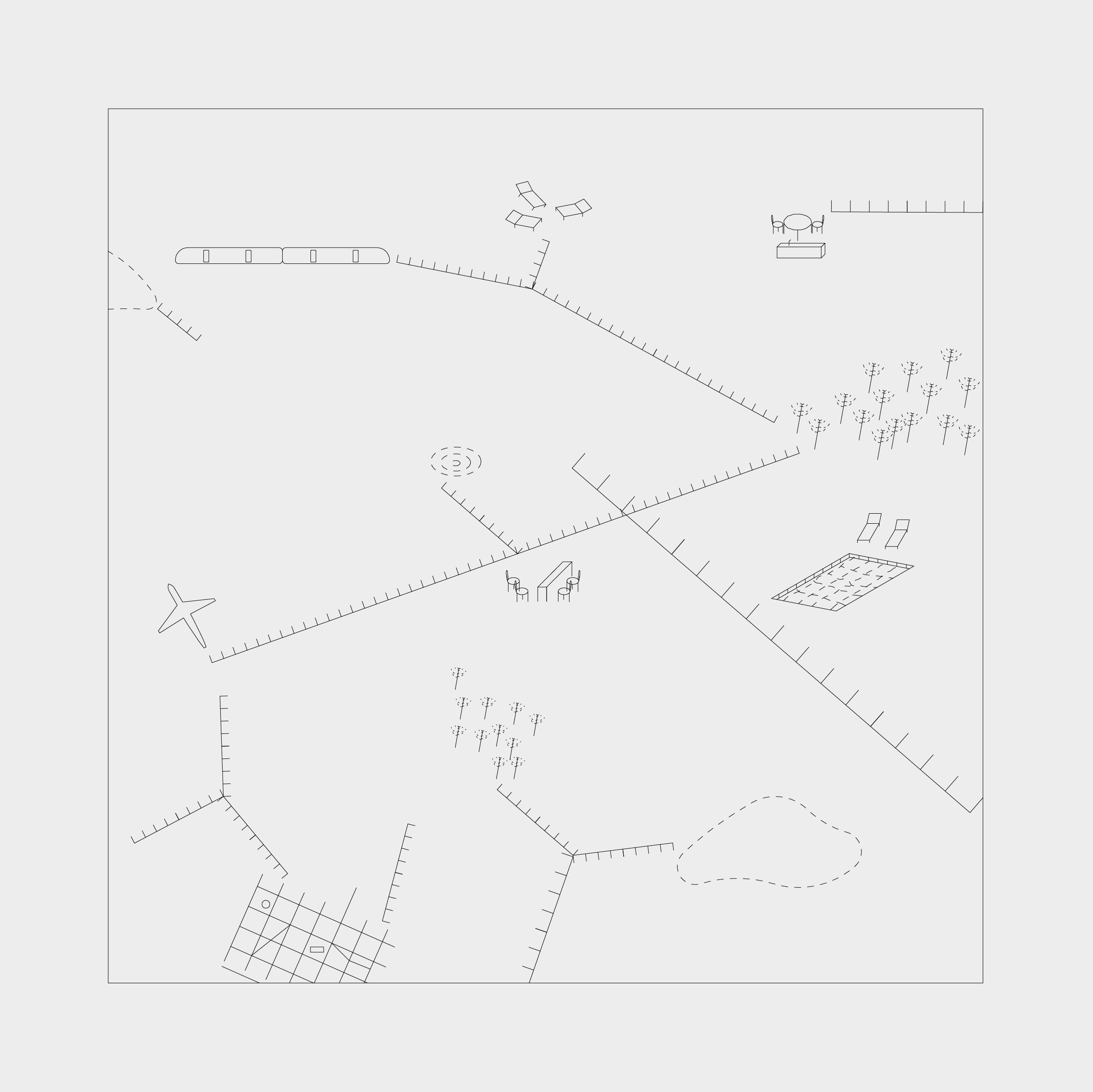

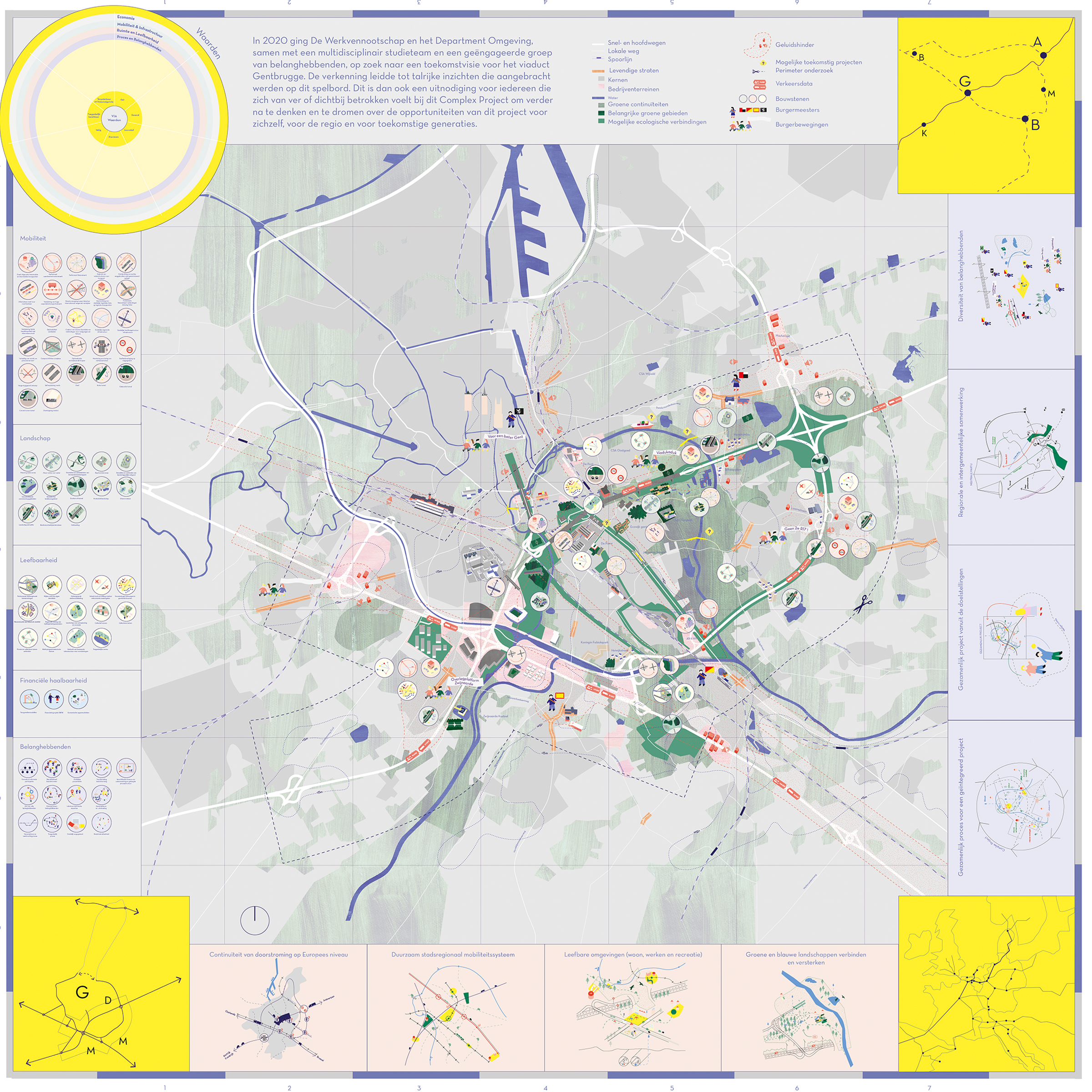
By coupling the two components of housing and transport, it becomes possible to conceive of housing as a dynamic system and to inscribe the 50,000 new homes within a metropolitan framework based on movement. ‘The environment of a “well-connected” home’, the architects insist, ‘is not just a physical space’: it is also a ‘space–time containing a multitude of choices and differentiated urban environments. At the scale of the neighbourhood, a network of mobility produces invisible layers of temporality, flux, change and intensity.’
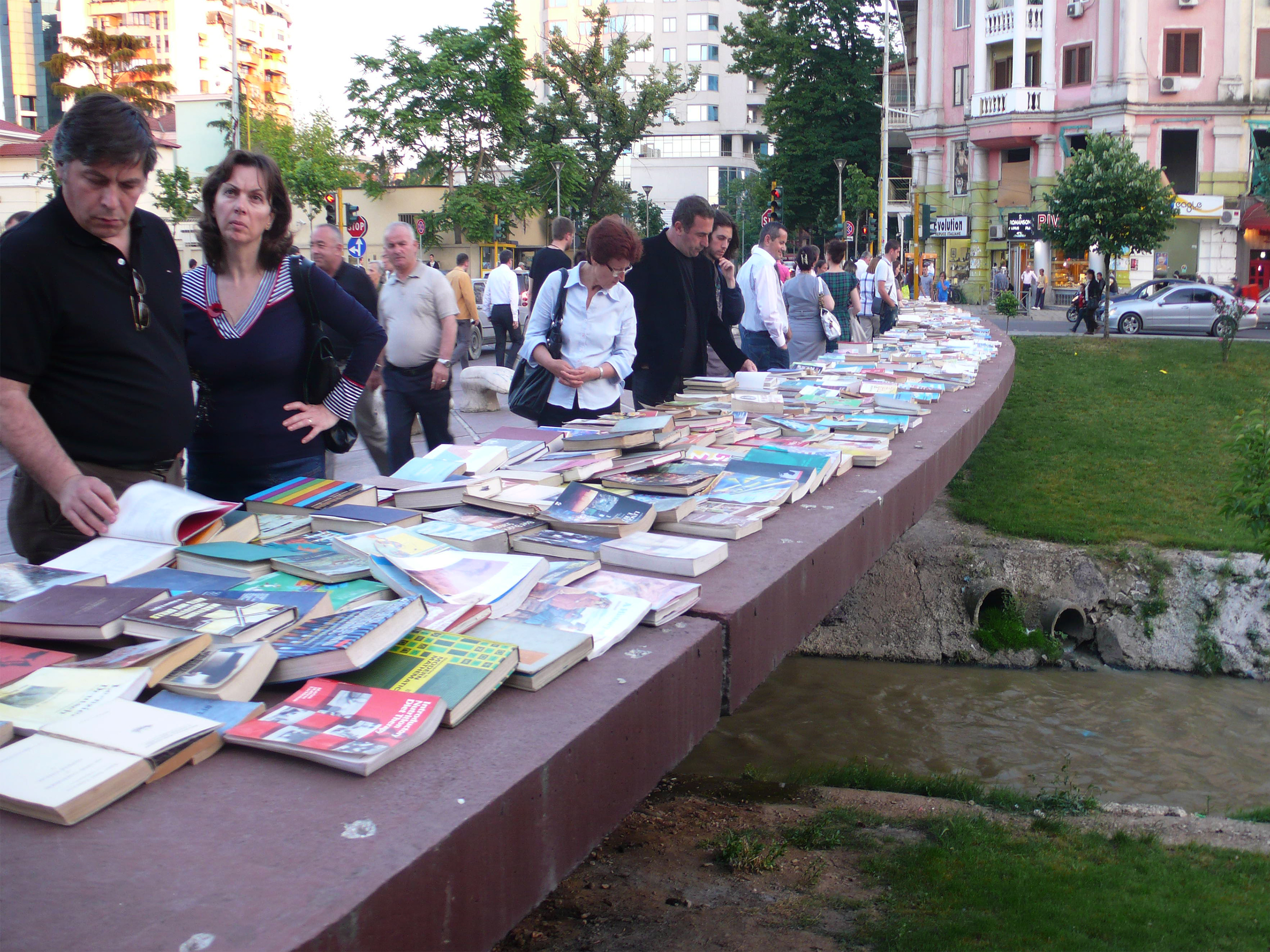
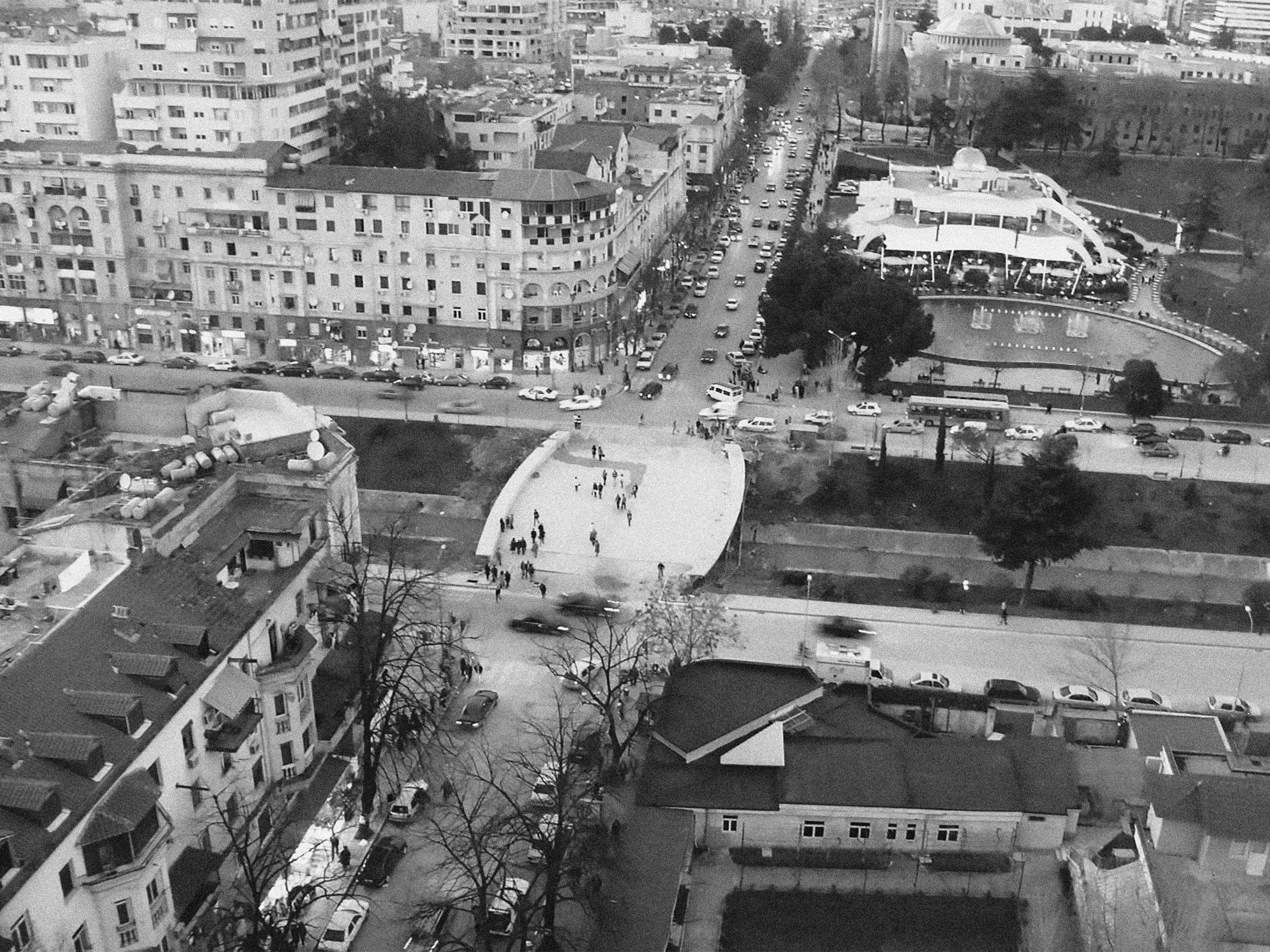

This bridge in Tirana was already under construction when we were asked to design its balustrades, a fact that left a very small margin of freedom for our design. We decided to focus on turning the bridge into a public space. The bridge becomes a place whose shape allows users to slow down and enjoy the view of the mountains as well as the area’s openness, which is markedly different from the messy density of the rest if the city. New uses and encounters are enabled by the shape of the bridge and the generous size of the balustrade.
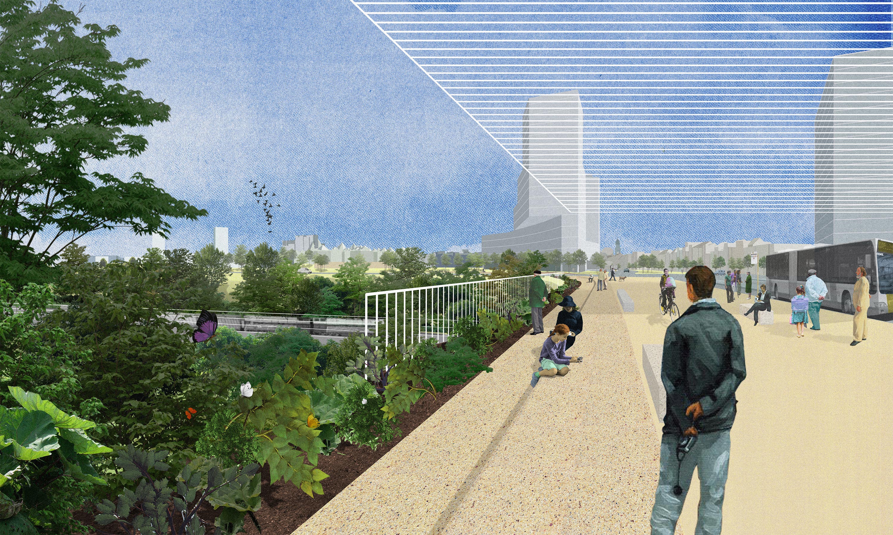
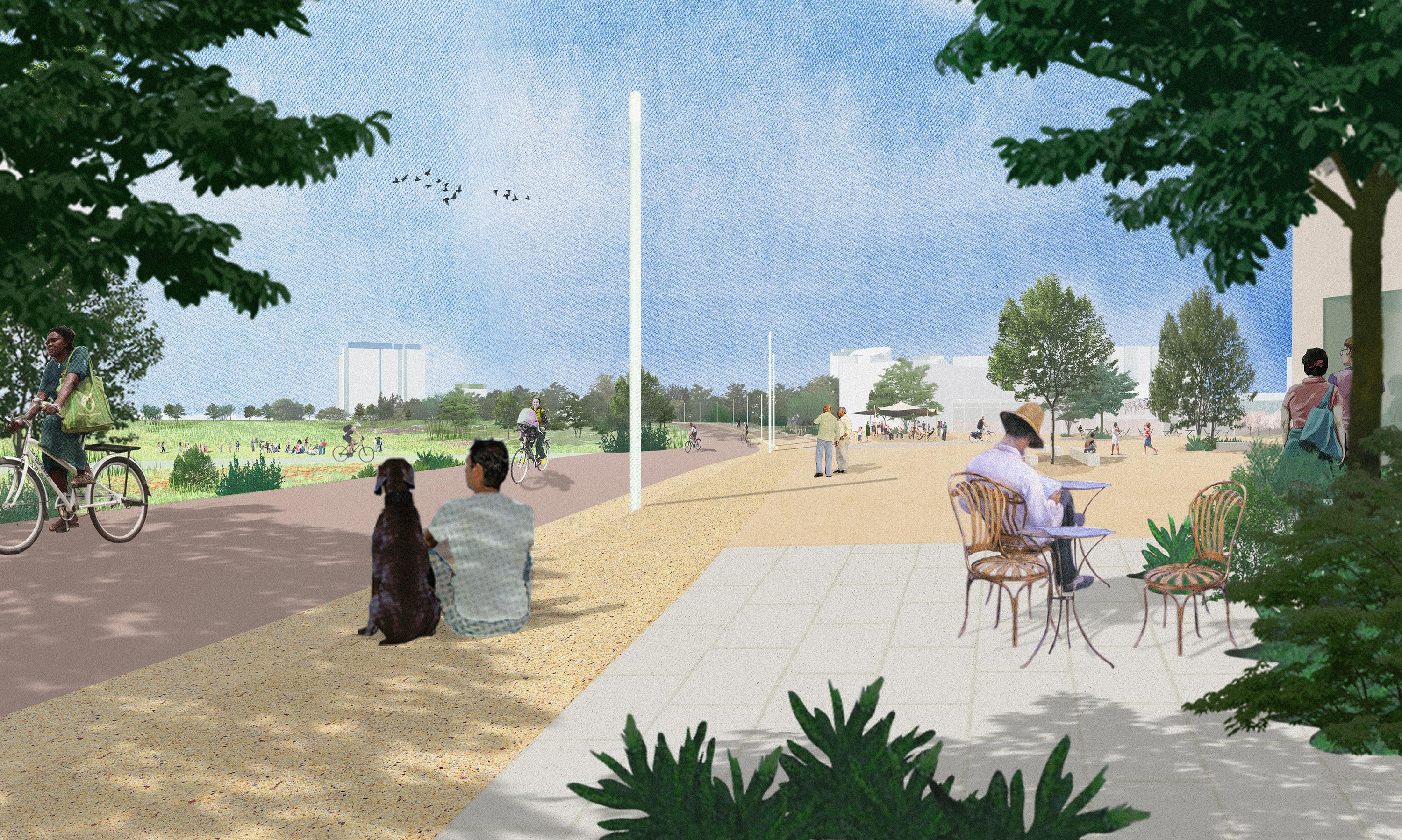
How to create networks beyond engineering?
How to create networks beyond engineering?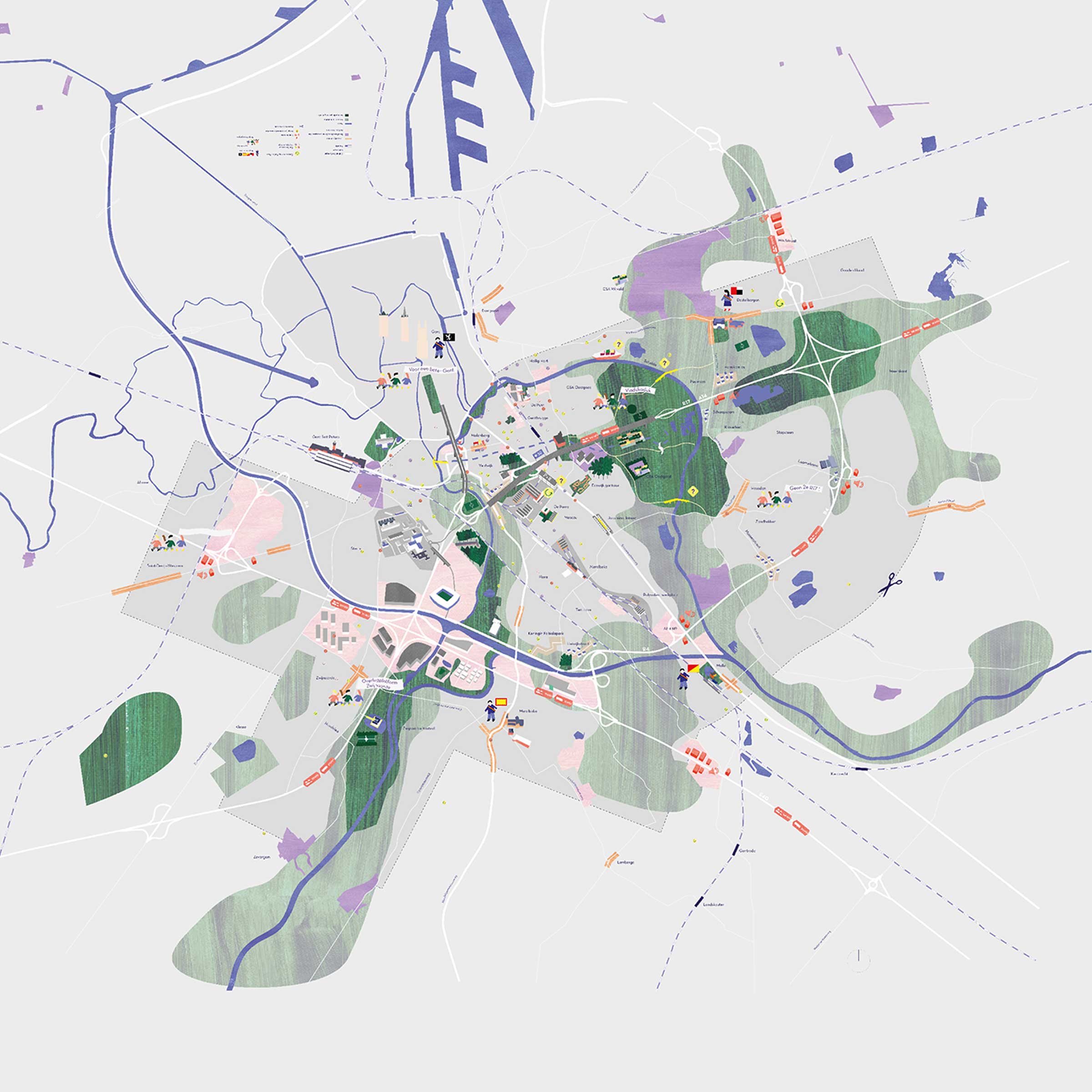

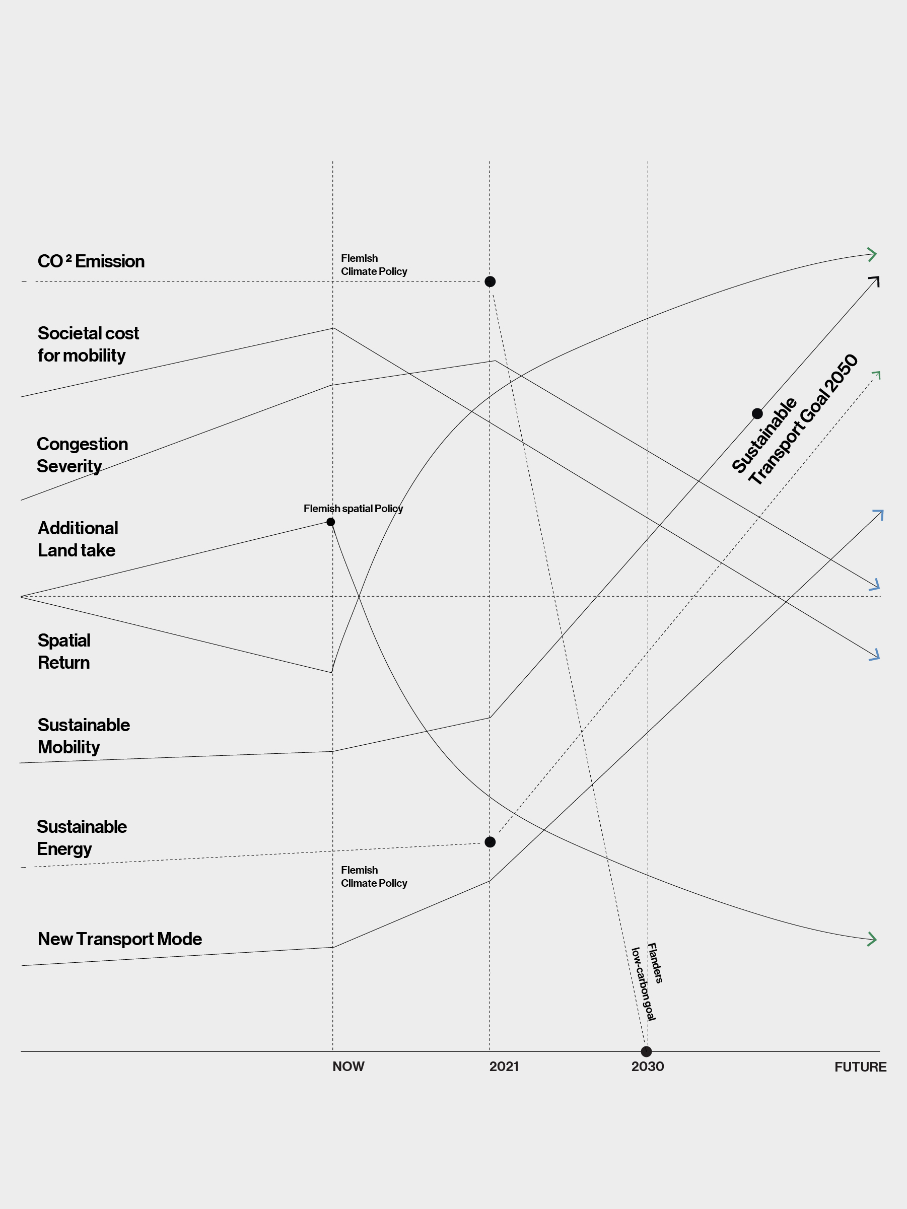

The future transition of the territory of Limburg’s North-South connection started with the naming of 9 key ambitions. Both overarching yet specific they incorporate amongst others challenges on the alternative mobility, scarcity of resources, ecological connections and the regeneration potential of neighbourhoods. The ambitions where conceived early in the process through research in dialogue with different stakeholders and were afterwards represented through a combination of text, illustrations and pictures.

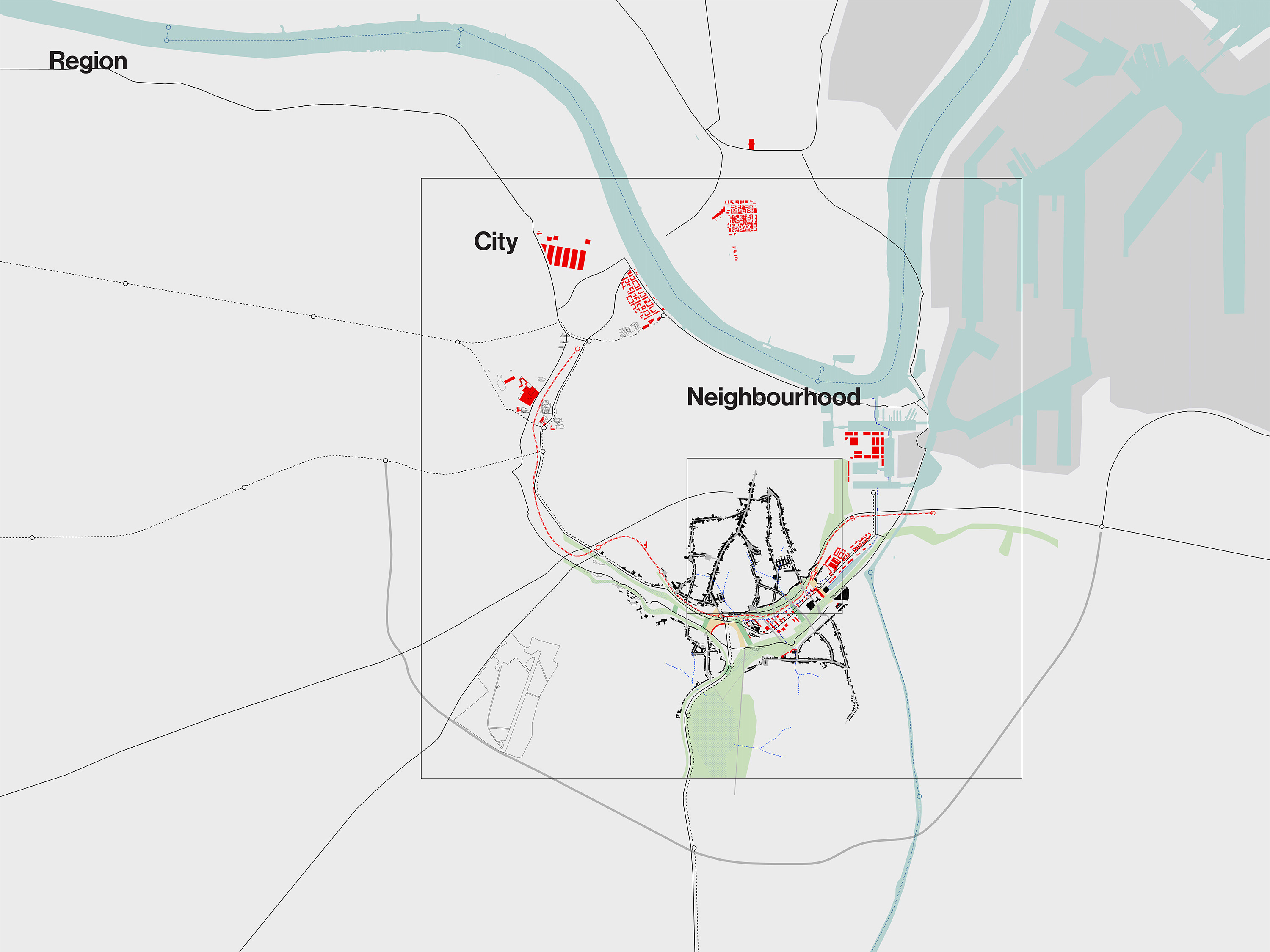

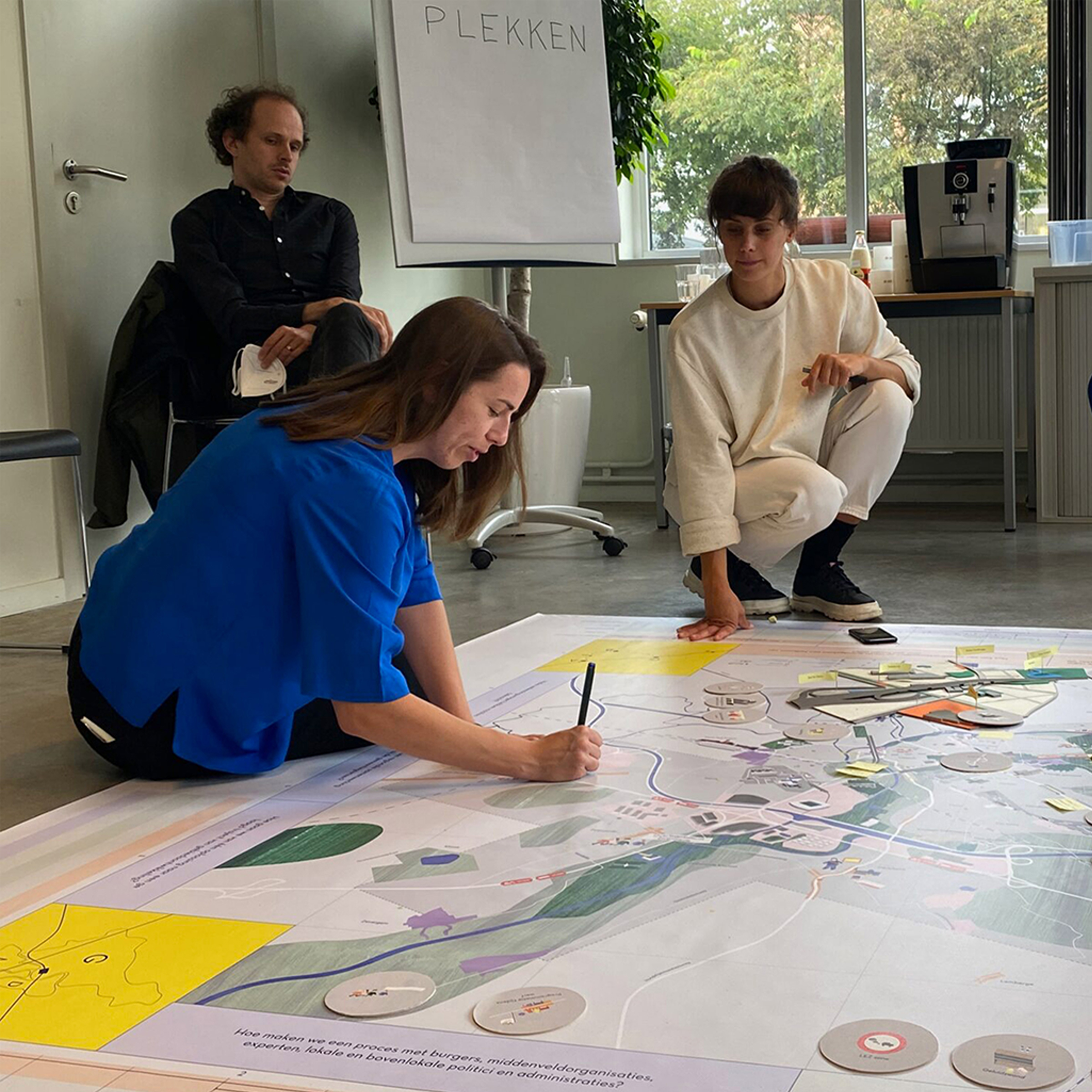
The ring road of Antwerp represents a dilemma on road infrastructure many cities face today. It is crucial for the city’s large port economy, while contested by communities living alongside the highway. When asked to develop a strategy to cover part of the ringroad, we started with mapping the different claims people had on this infrastructural space. Using a matrix based on scale and theme, we listed the different aspects of the discussion. During workshops with different stakeholders involved, this information was shared and used as resource for shared scenarios.
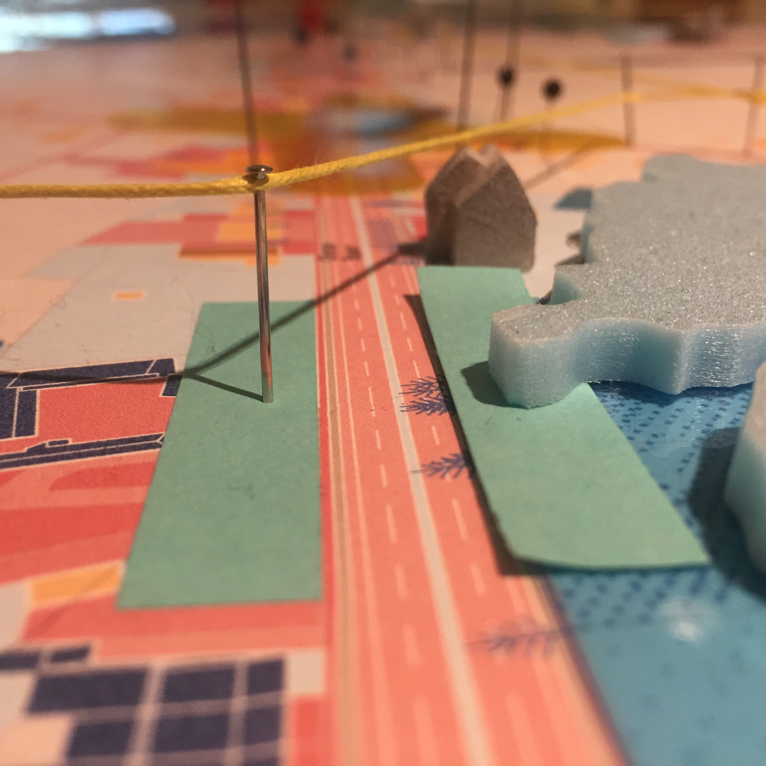
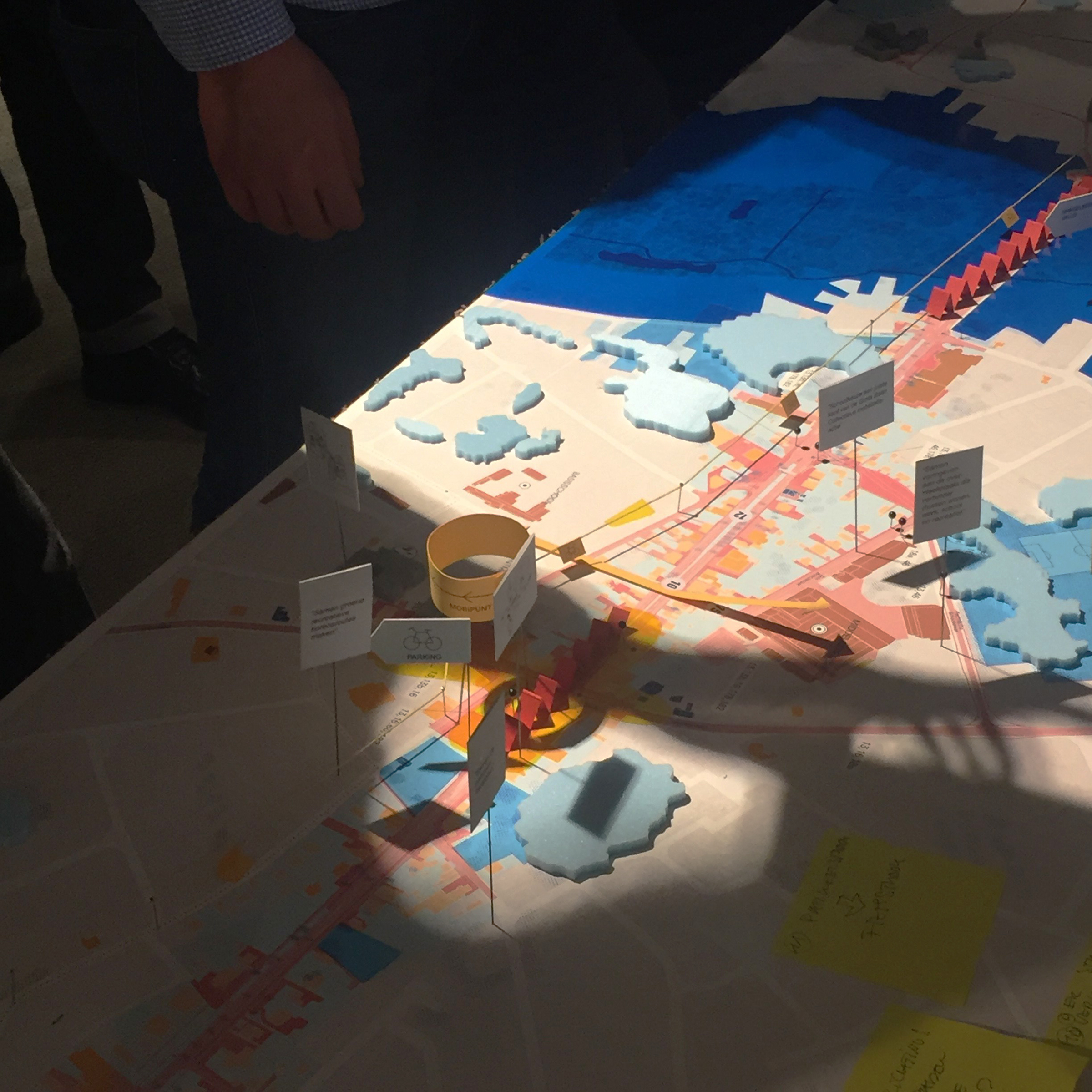


The urban reality model works both as a communication tool to share research but mostly as a receptor for personal views of people on their environments. The model therefore develops and changes through time, layering perceptions. Aspects, sometimes less visible in daily life are combined and shown using colour and matter.

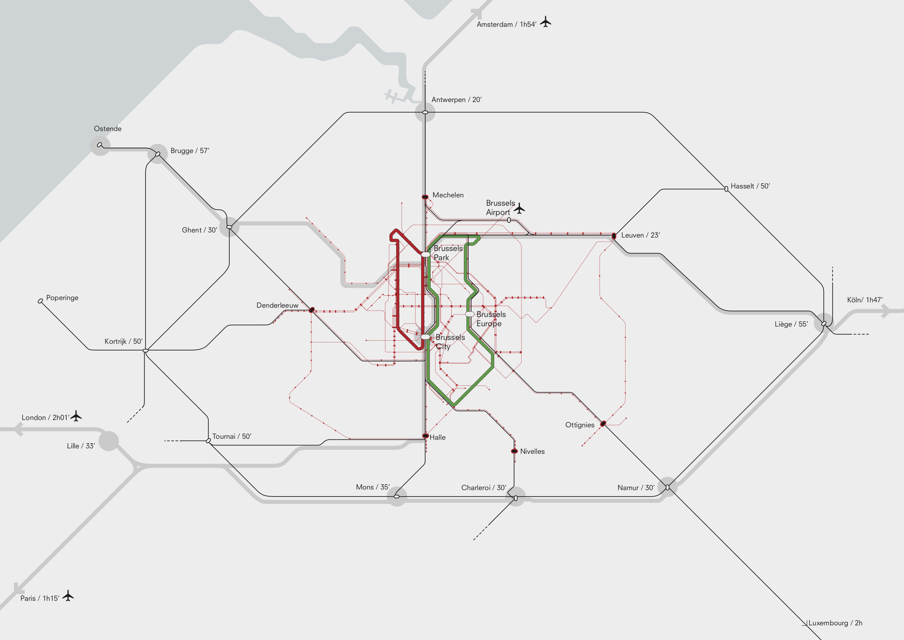
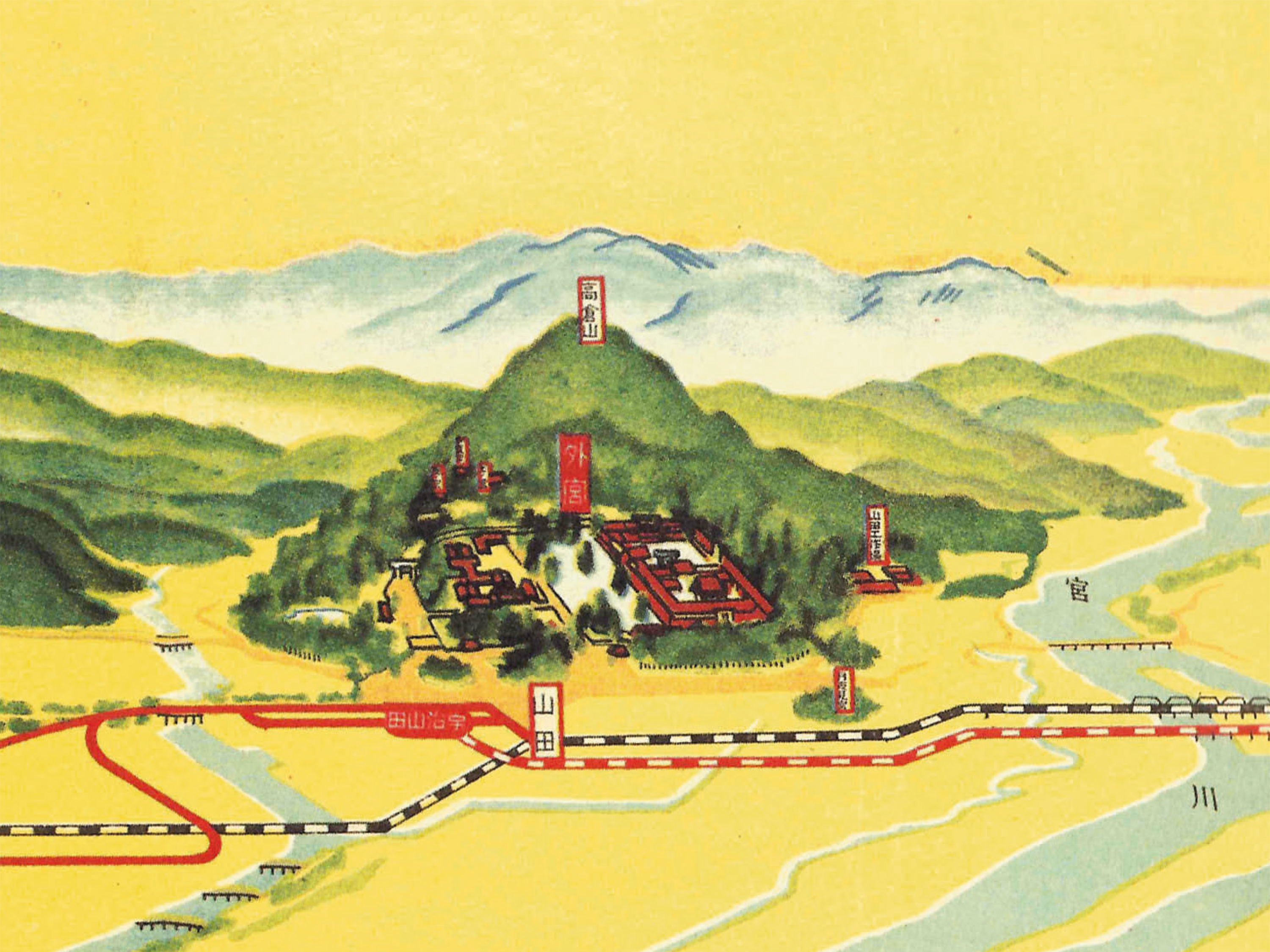
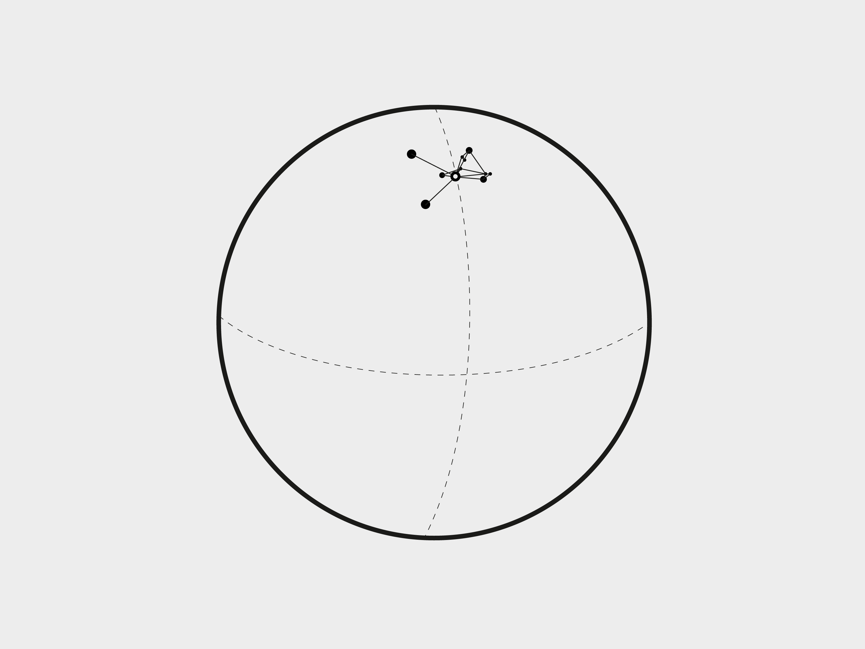

On the one hand, Brussels is a small metropolis within a large territory, the Eurodelta, and its greatest potential is its connections to other cities in this territory. On the other hand, Brussels is a global metropolis that thrives on its compact and dense urban tissue, creating intensity and interaction at the economic, social and cultural level. Activating the dual Brussels reality necessitates release and re-centering. The ambition here is to see the global as a flux that manages to realise itself through a multitude of local situations.

Large infrastructural projects have the potential to become shared learning trajectories. While developing scenarios for the covering of the Antwerp ring road, we travelled through the neighbouring district past different community centres and schools. Using a large model, different generations were informed and could become part of the learning process.
Old infrastructure, new meaning?
Old infrastructure, new meaning?
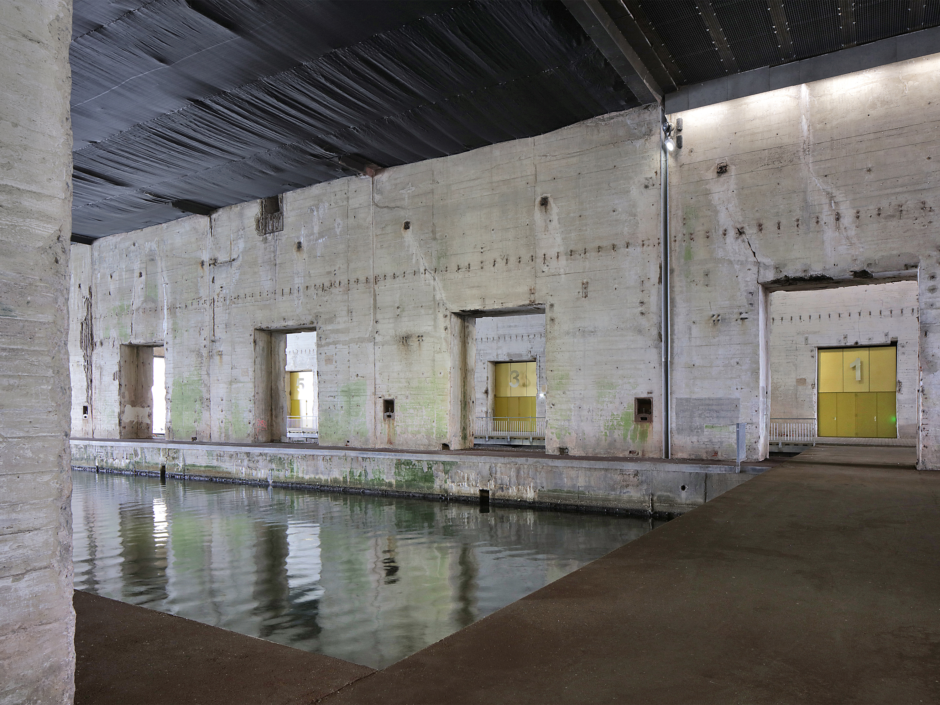
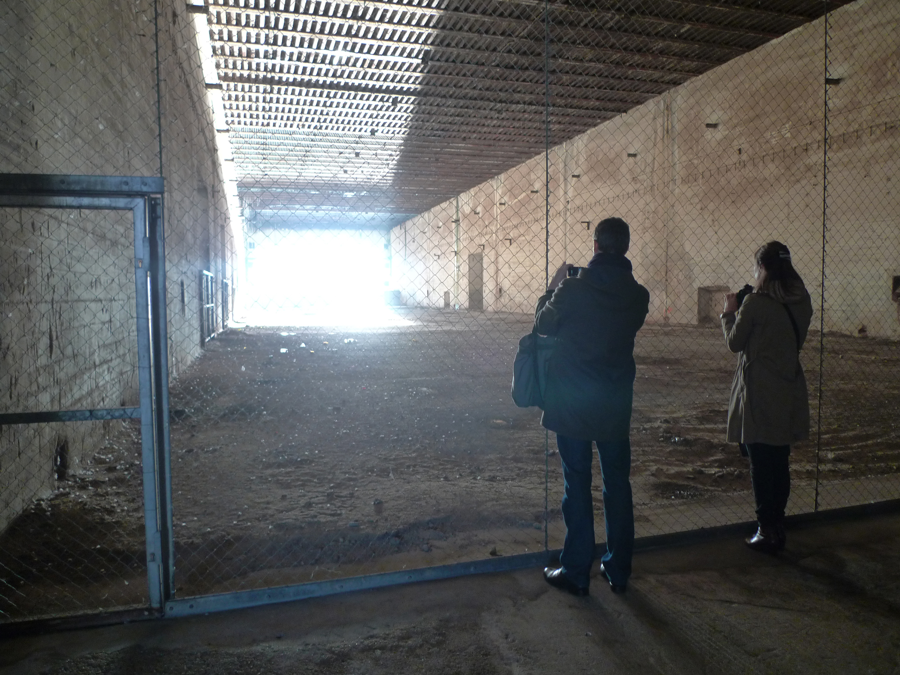
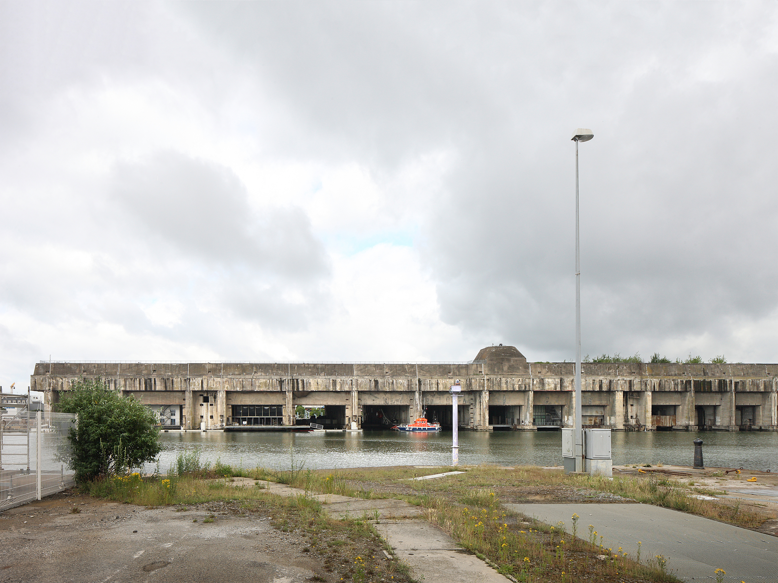

The disposition of existing infrastructure can be source for several transformations for new uses and programmes. In Saint-Nazaire, we designed a communal event venue inside a former military submarine base. The concrete three meter wide walls and ten meter deep ceiling were physical conditions hard to transform. We designed with them, articulating the existing concrete in some spaces, while covering it in others. Doing so, we added a new layer to the history of this remarkable site.
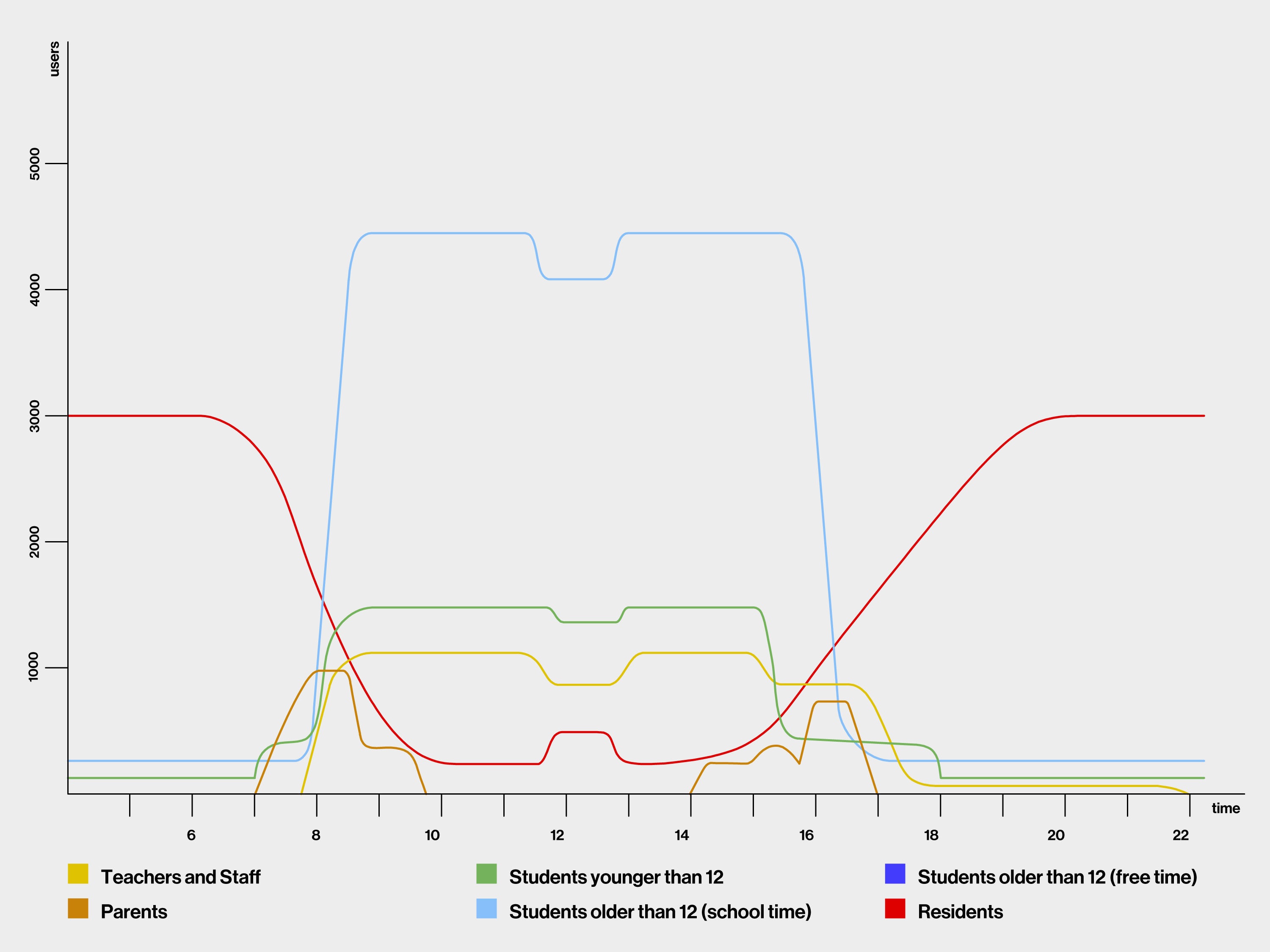
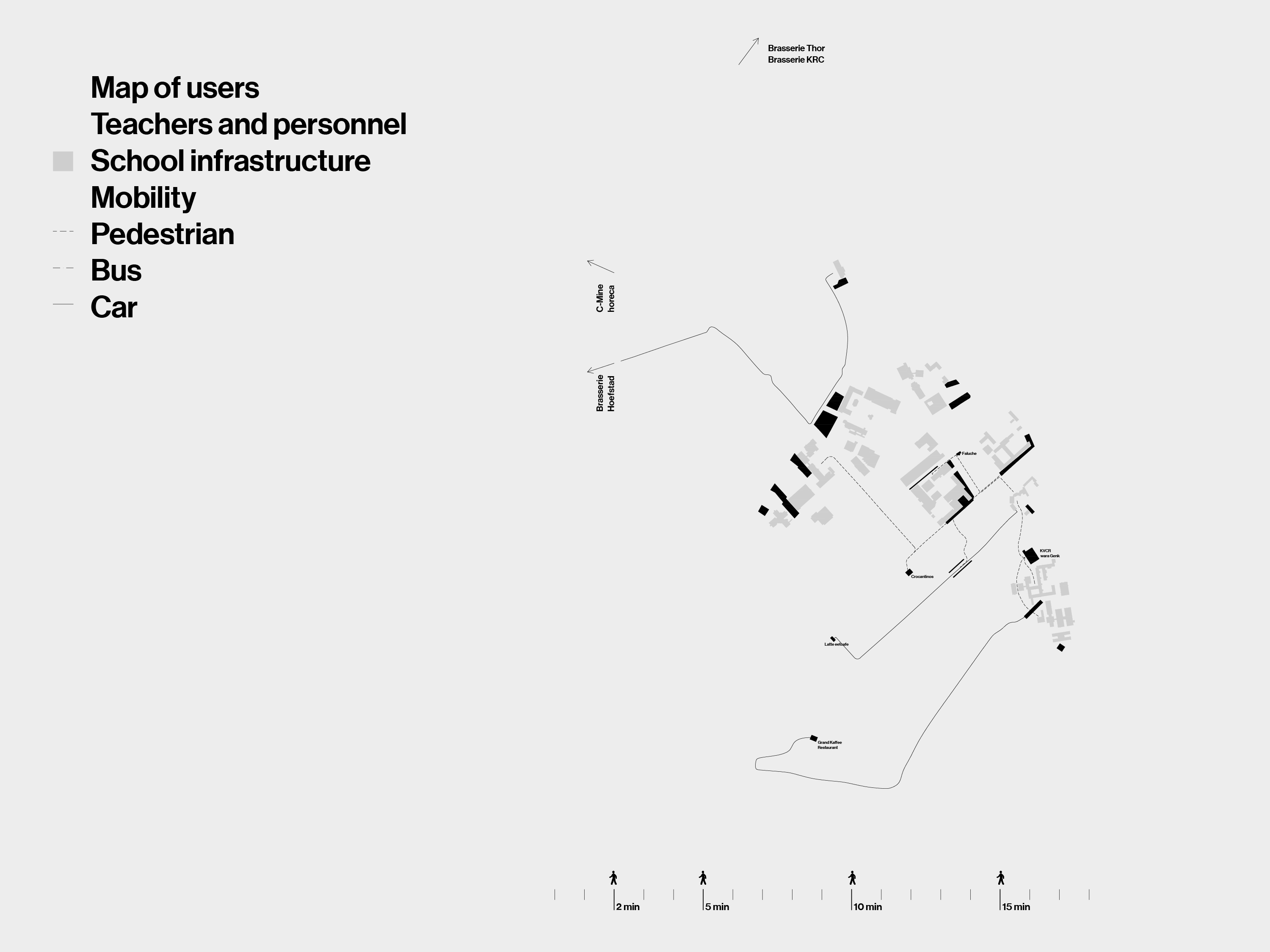
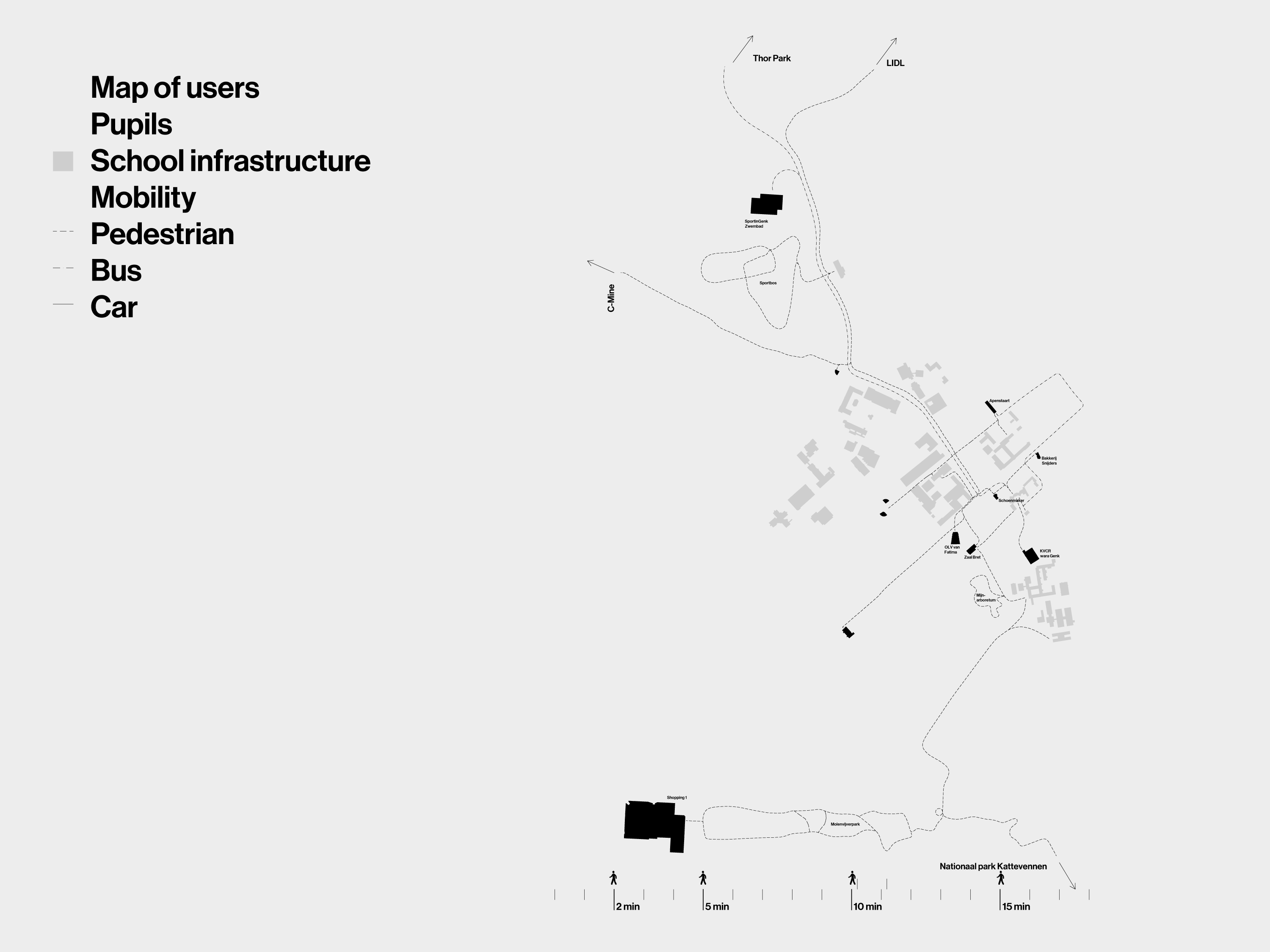
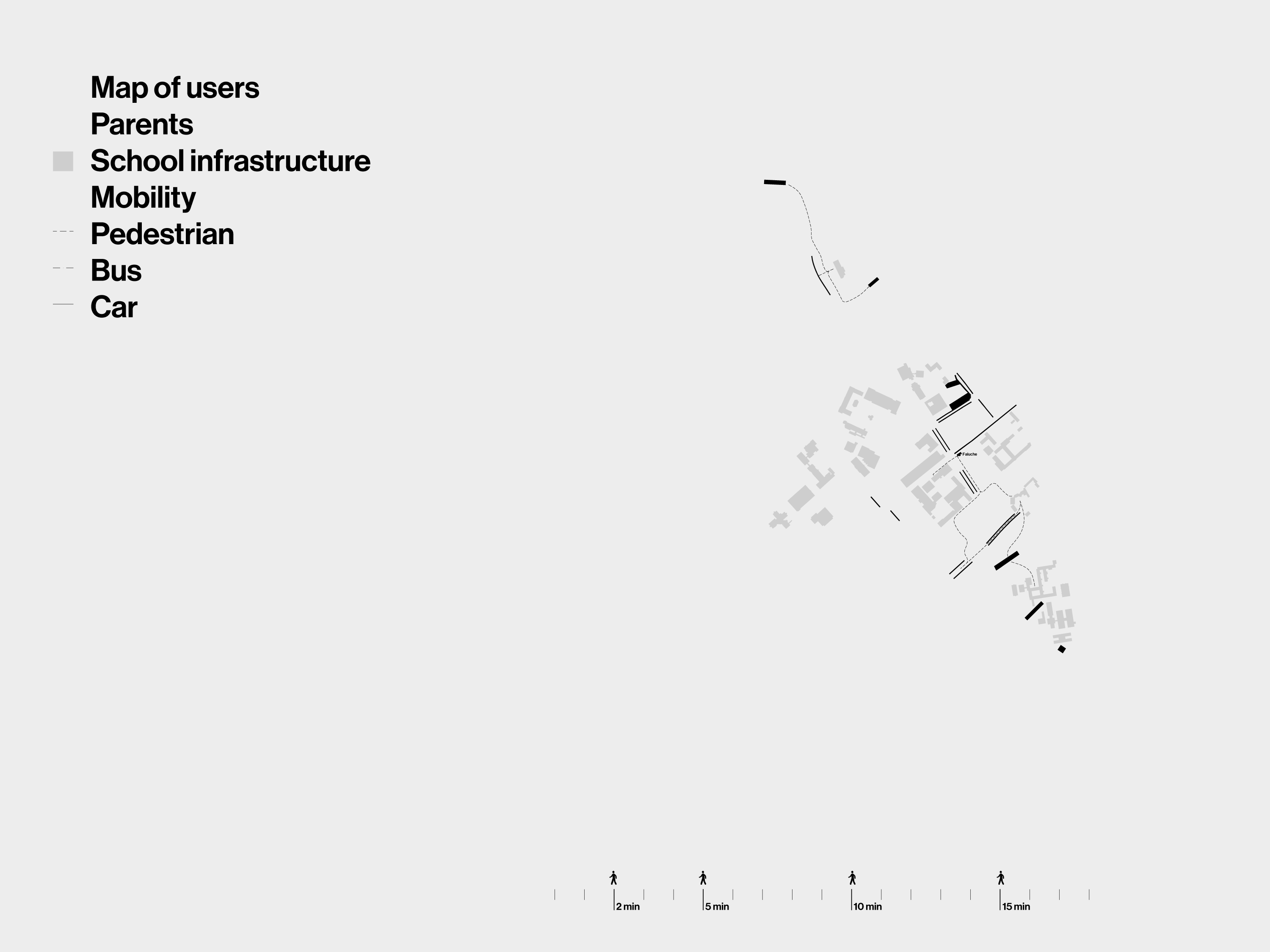

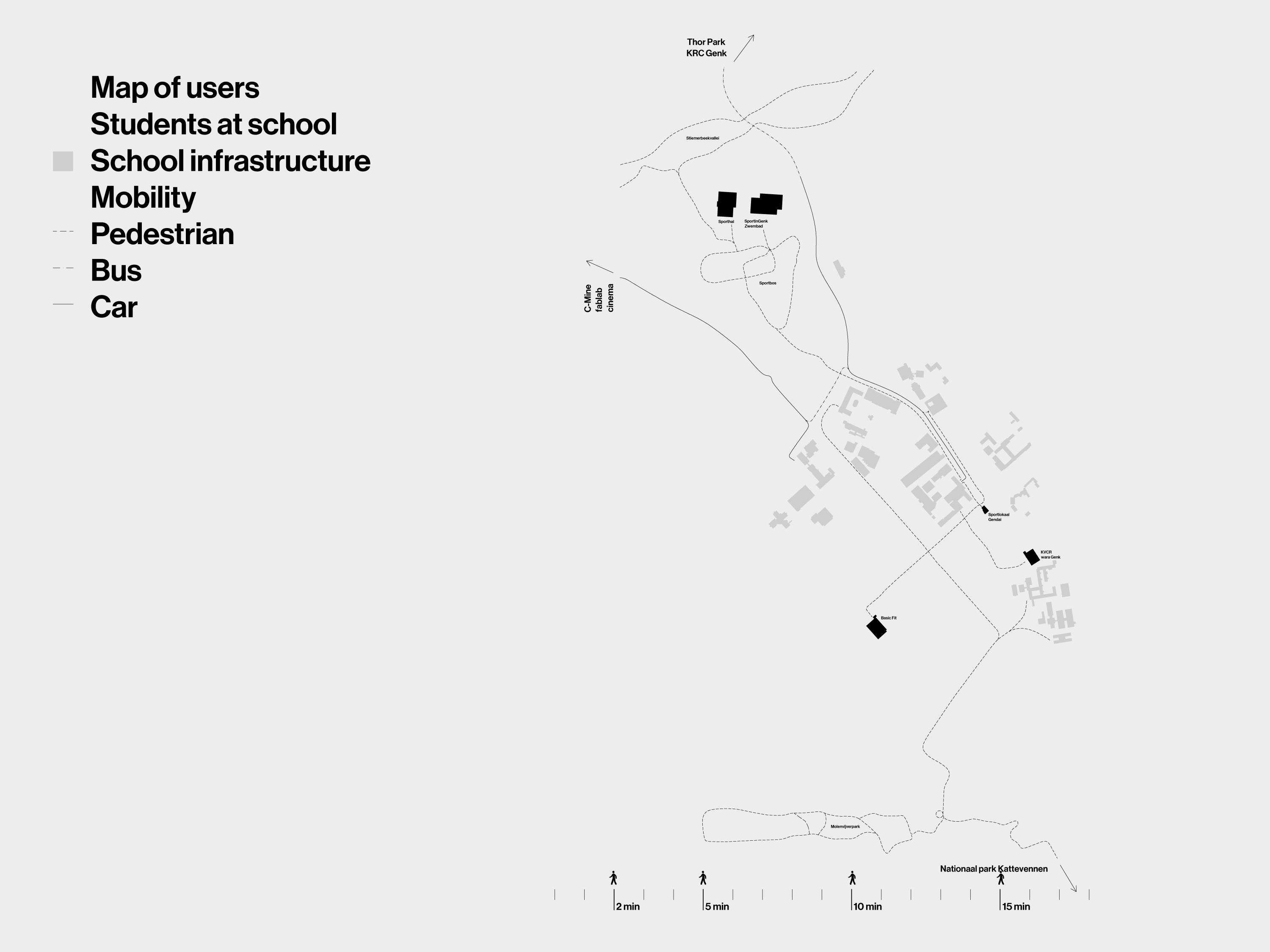

The social and spatial strategy for the transformation of the outdated school campus ‘Bret’ in Genk, started deliberately from understanding well the existing user patters. We undertook a detailed mapping in space and time based on individual and collective talks with pupils, parents, teachers, technical staff, residents, local associations and municipal services. These maps gave rise to proposals for new spatial and social connections within the campus and to the surrounding neighbourhoods.
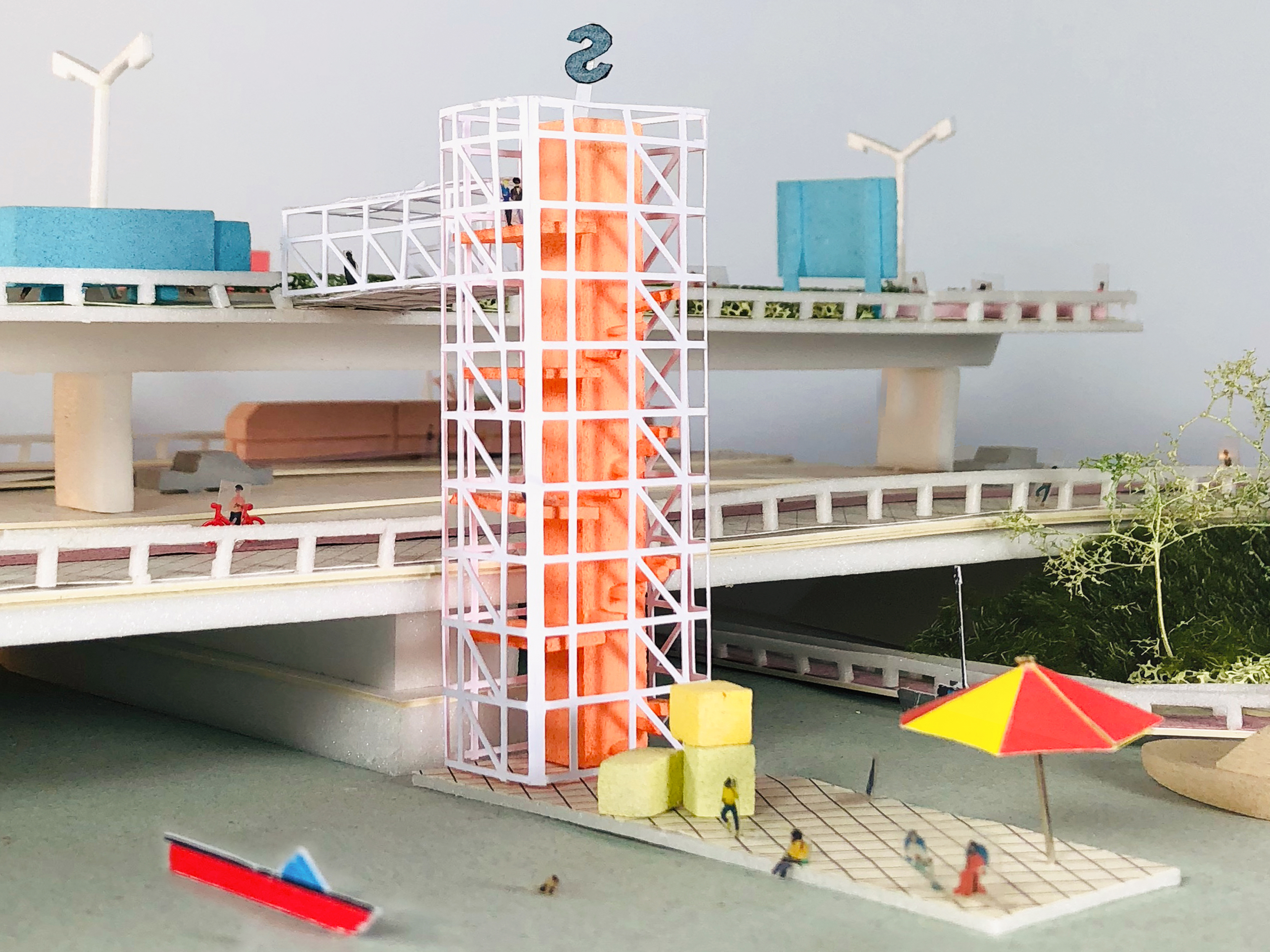
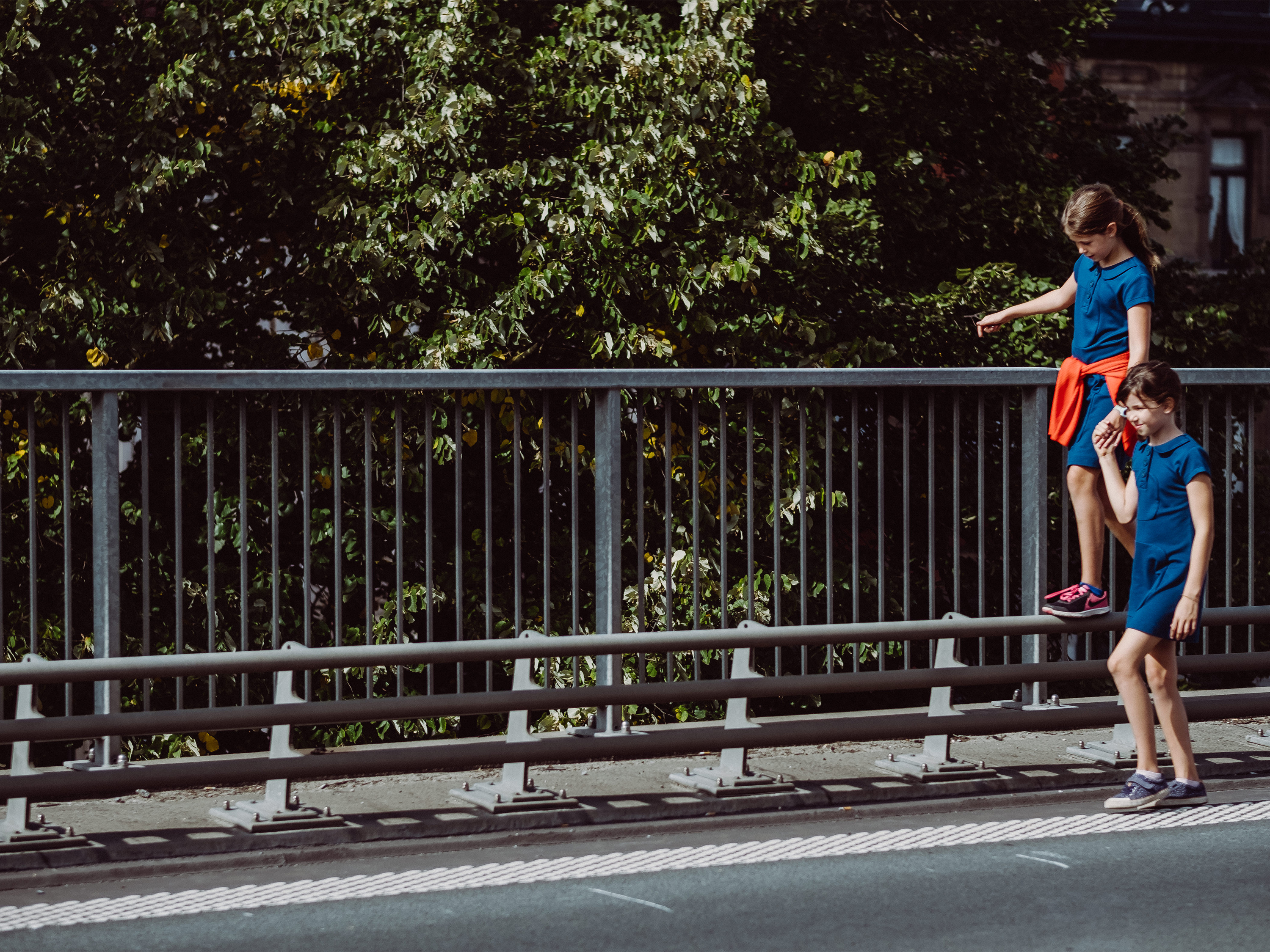
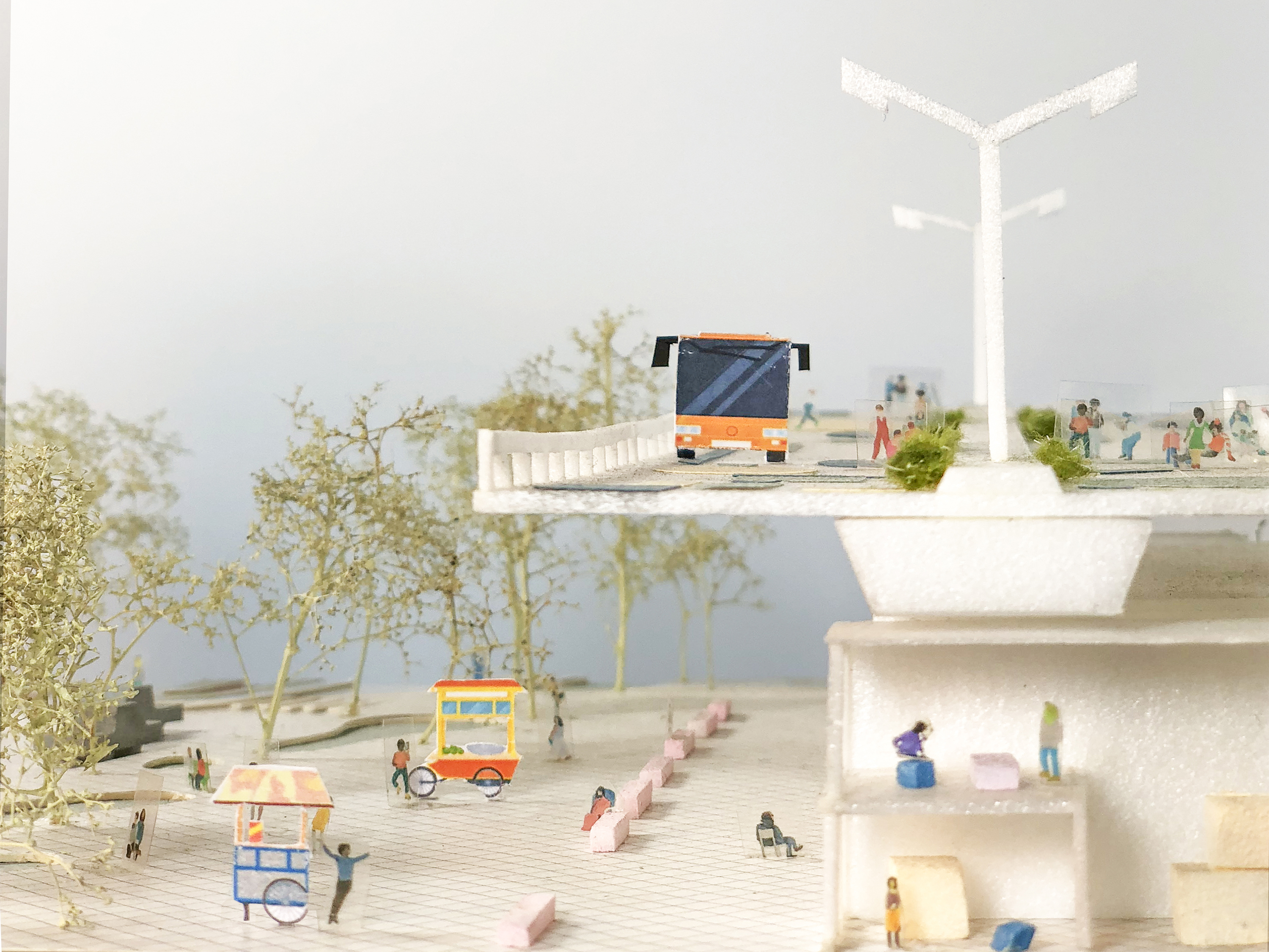
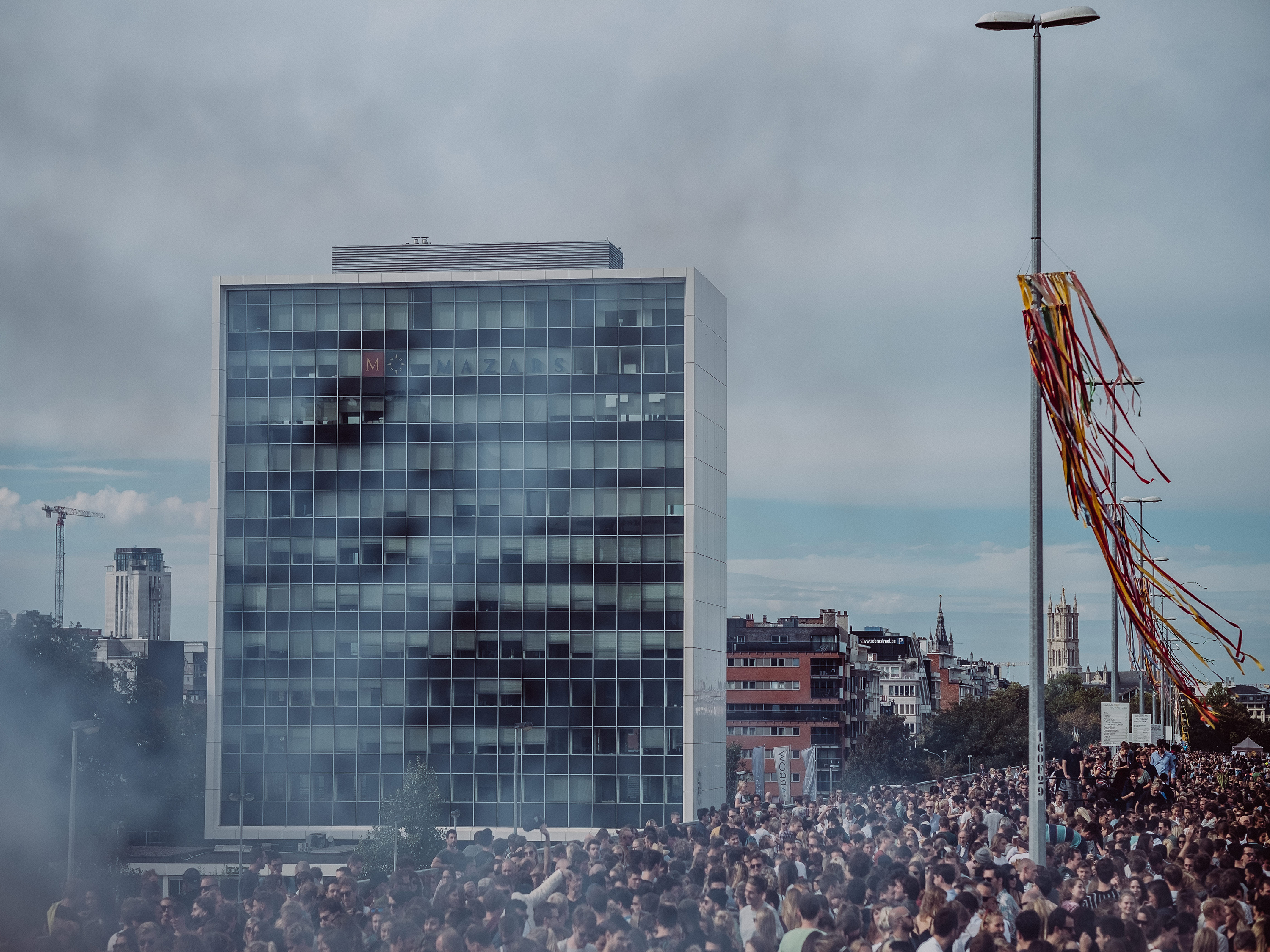
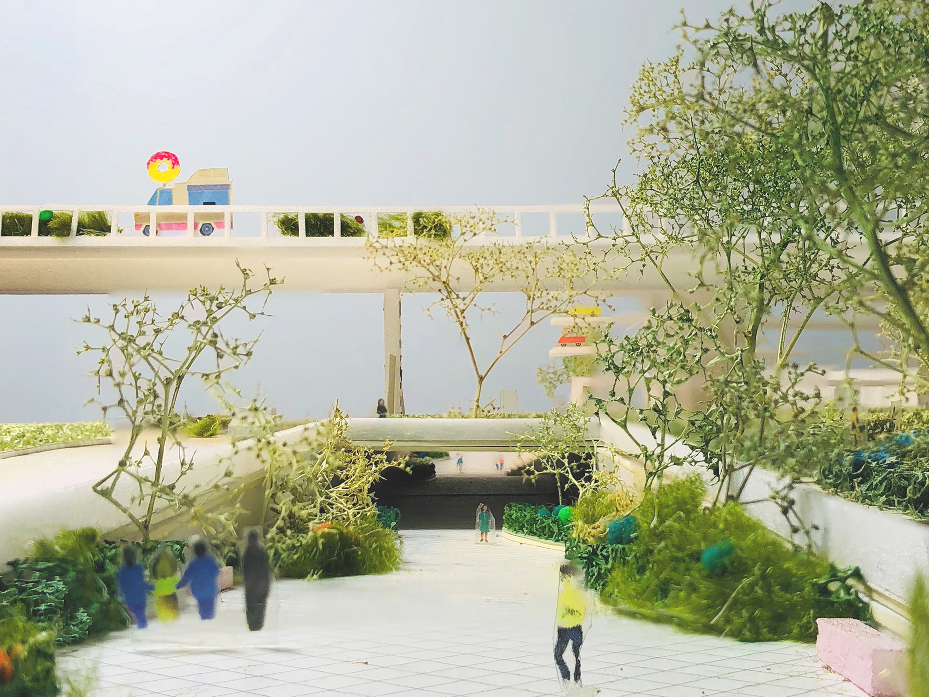


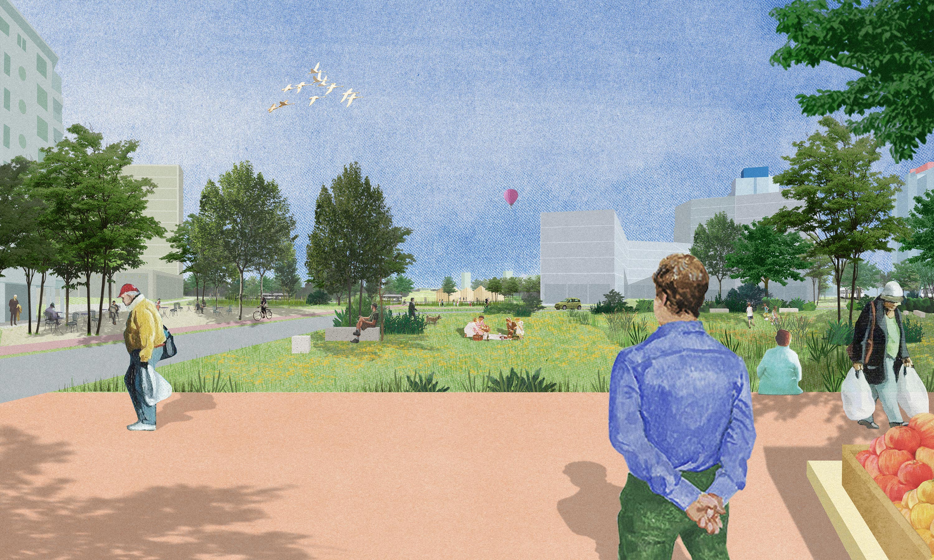
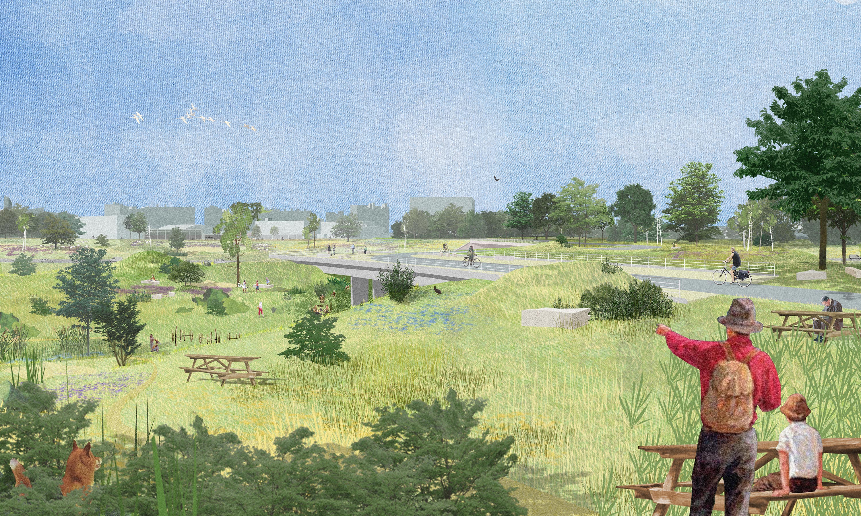
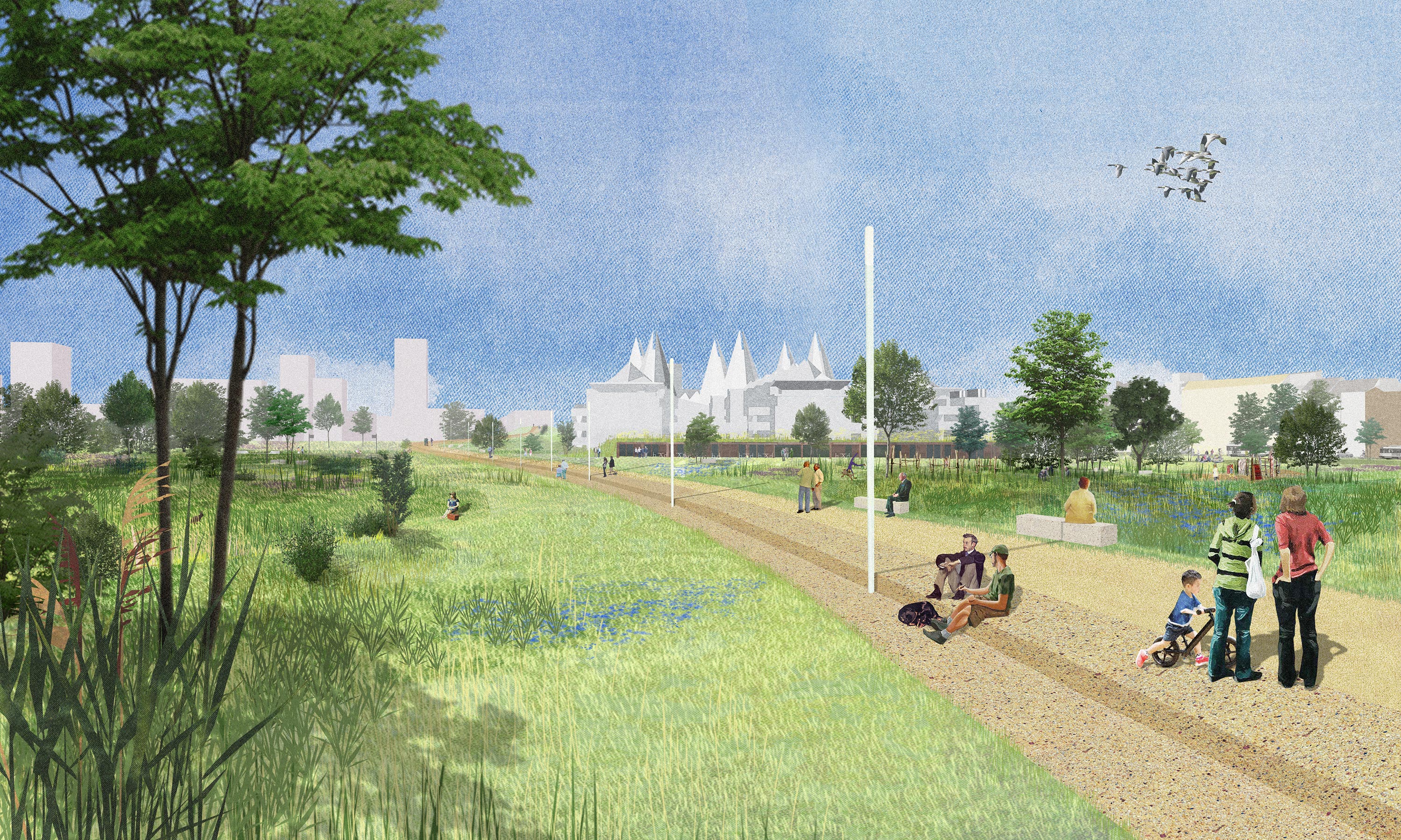
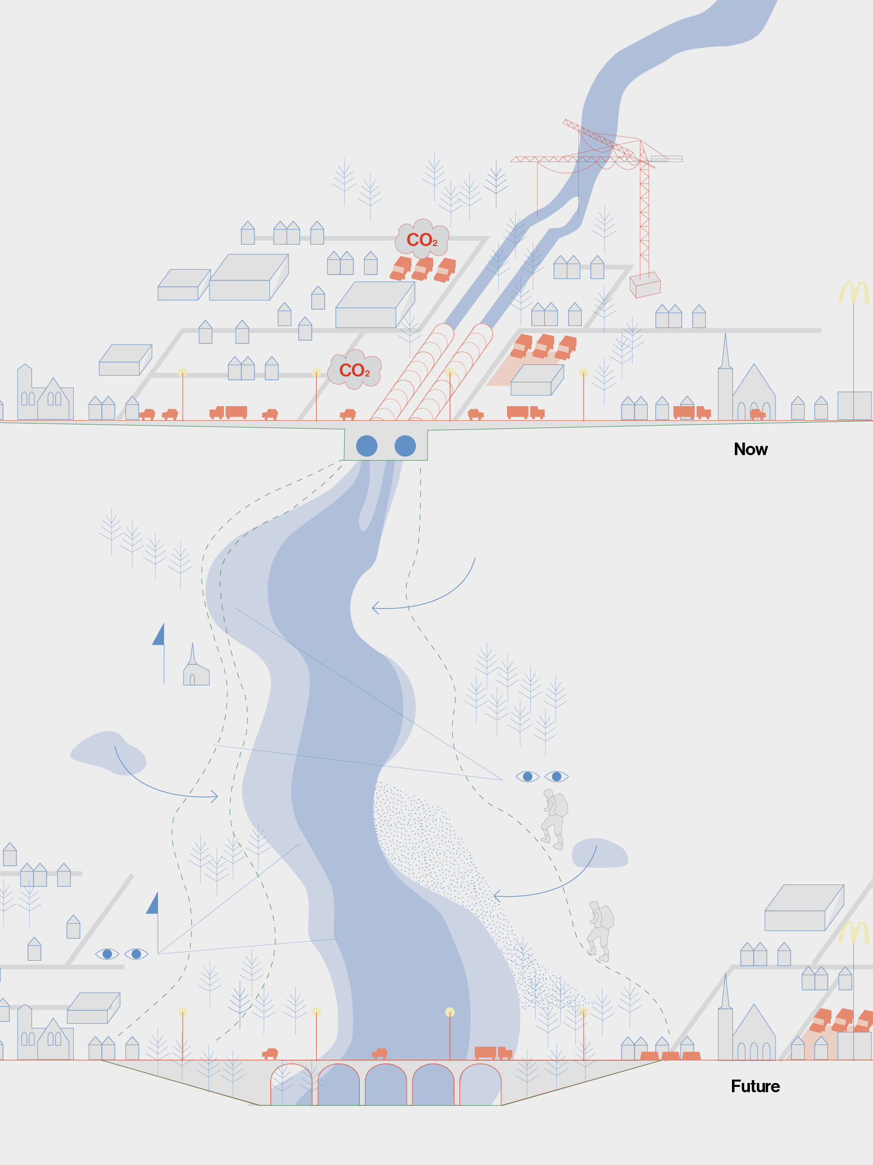
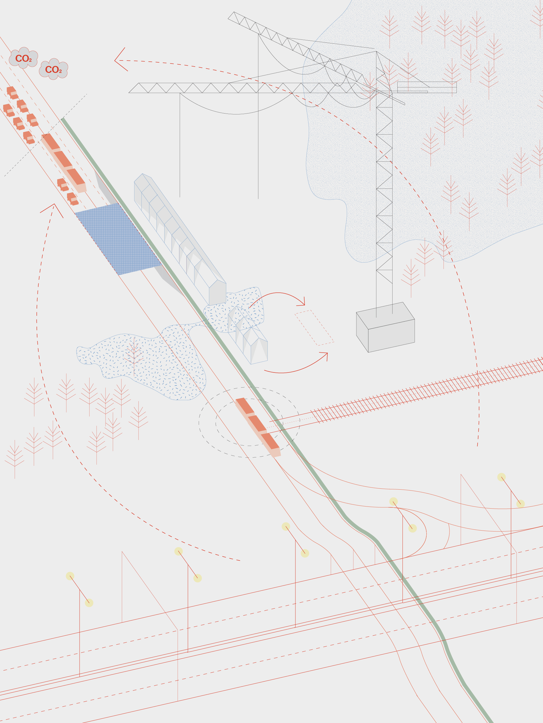
Large infrastructures built in the mid-20th century for a car-oriented future are gradually becoming obsolete in pedestrian-focussed cities. But does this mean we need to tear them down as soon as possible? These solid and monumental structures can accommodate for much more than cars and roads. They can be a test site for new programmes, responding to changing needs of the city. We experimented with this potential in Ghent when imagining the incremental transformation of the inner-city highway B401. In the series the incremental steps are drawn in red, the context in blue.
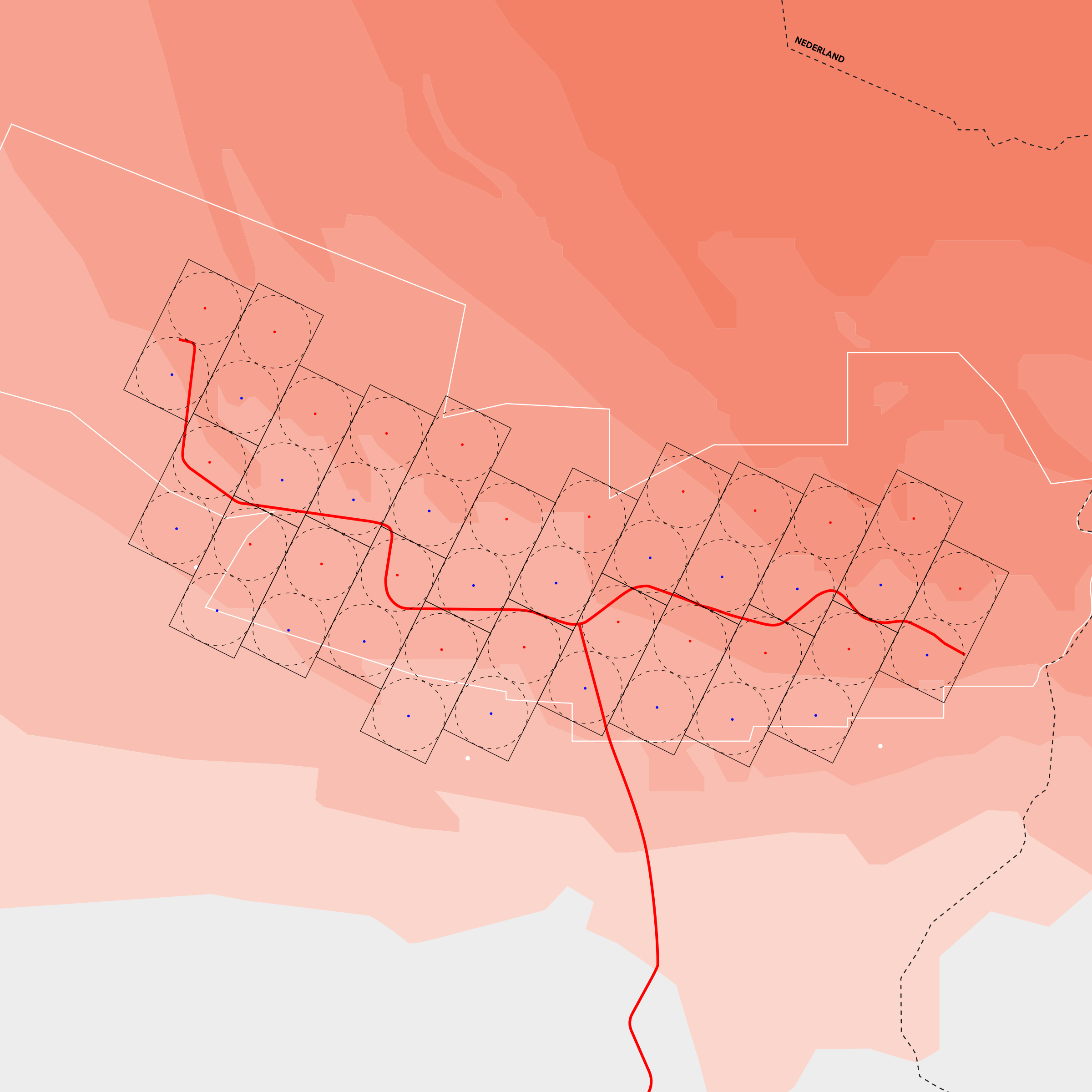
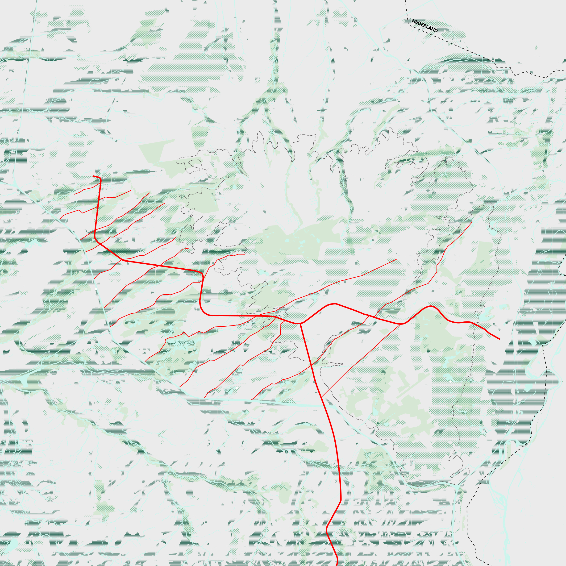
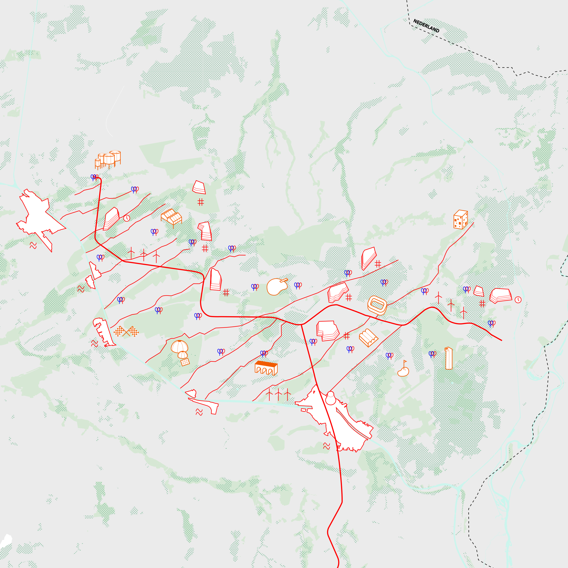
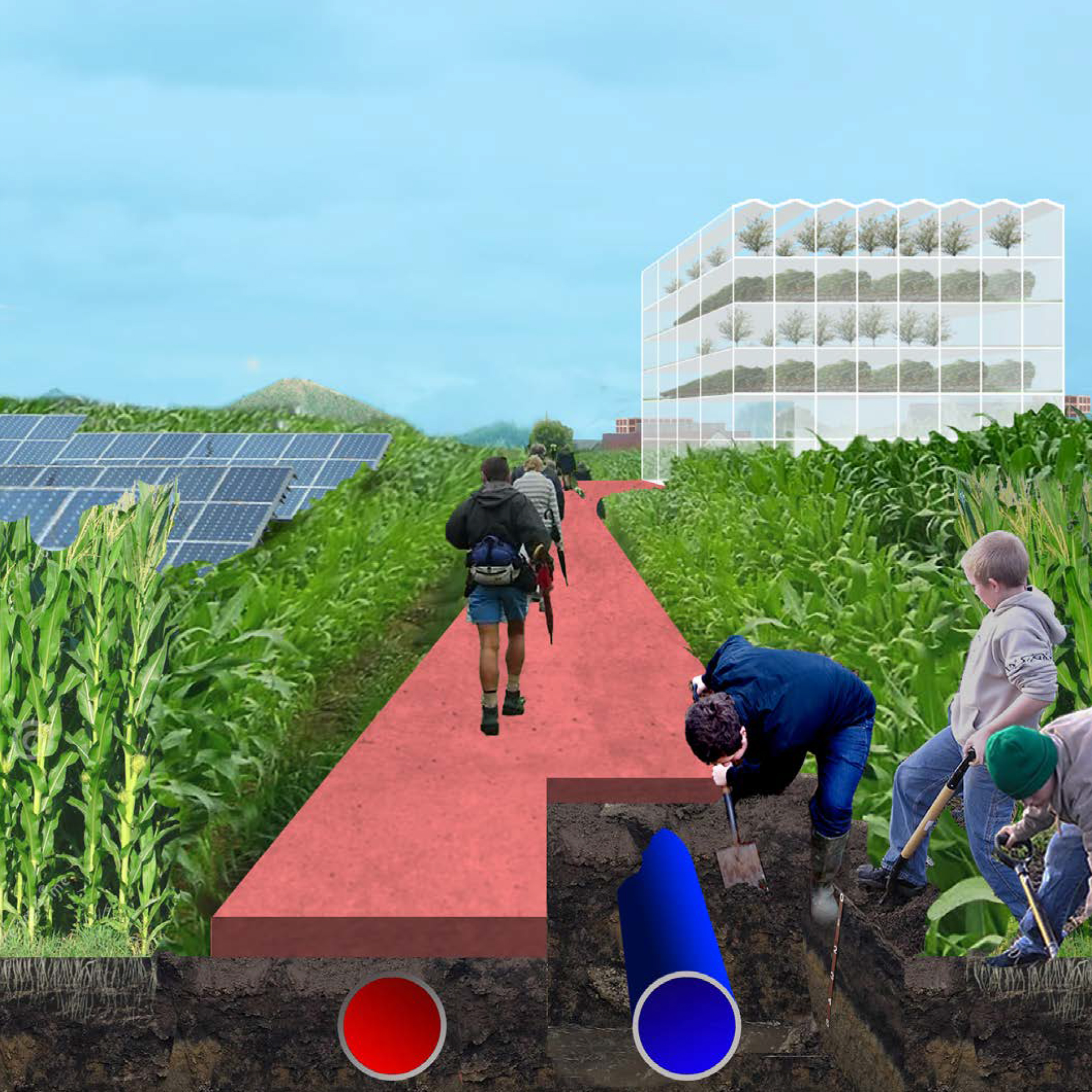
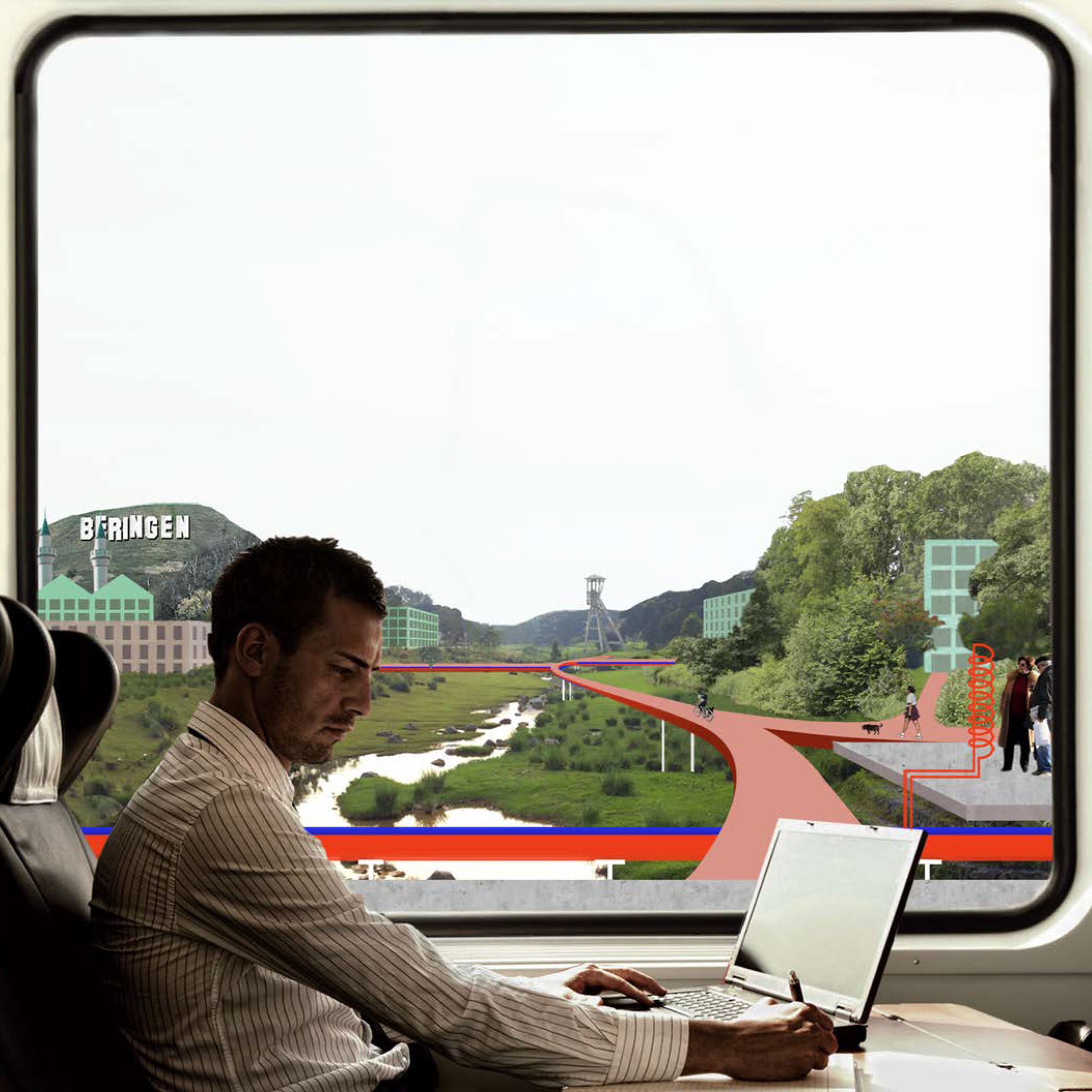
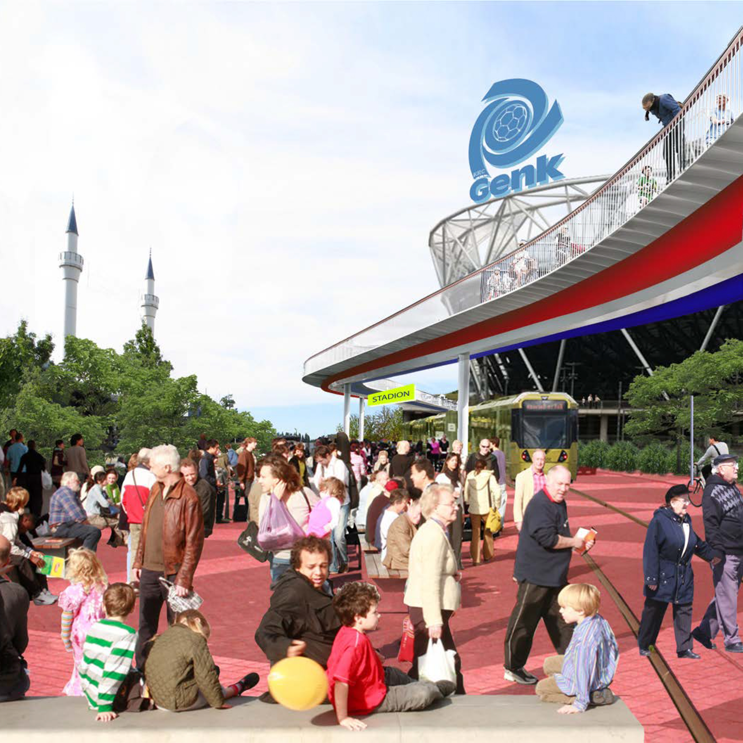

Belgian Limburg is known for a coal-lime layer in the soil, thanks to which a mining industry flourished in the 19th century. It is currently being investigated how the soil can be used for sustainable forms of deep geothermal energy. We investigated how the old train infrastructure of the Kolenspoor, which in the past made the connection between the various neighborhoods and the mines, can be used as a heat highway for energy. The vision for the coal track links energy with mobility infrastructure, but also development and renewal potential and daily use of the region.
