Over the Ring
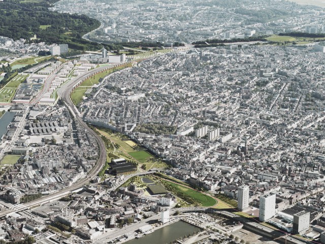
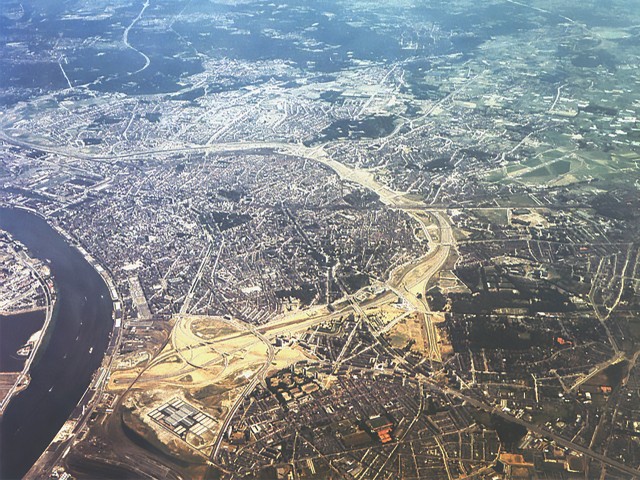
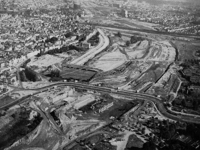
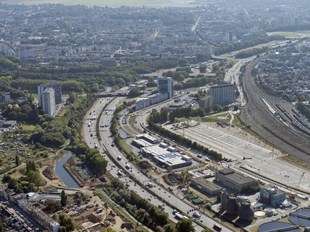
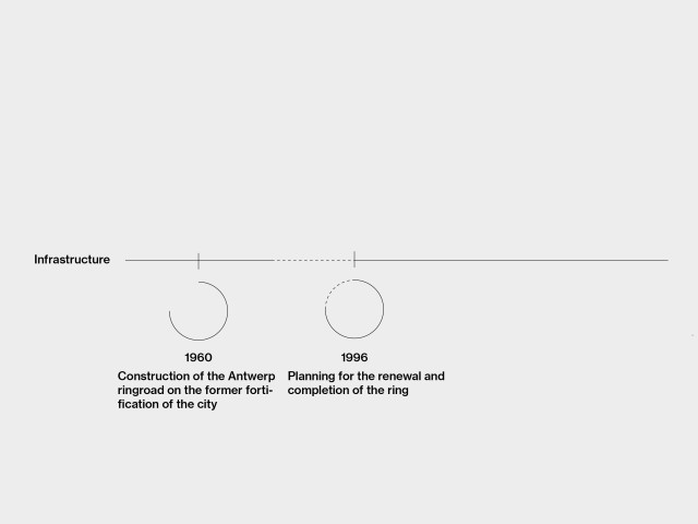
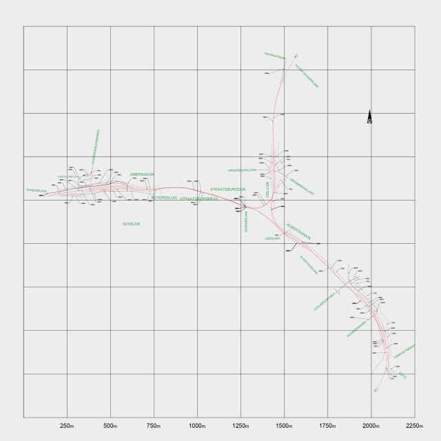
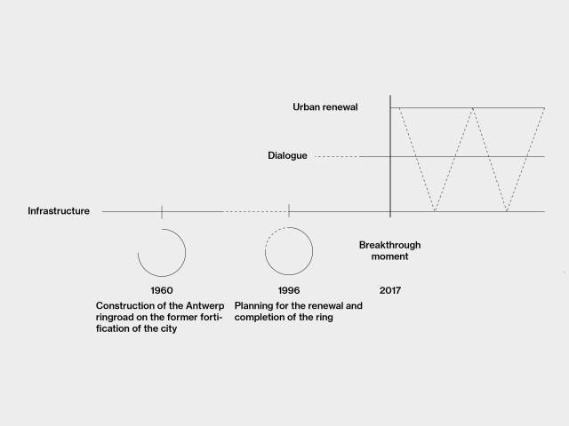
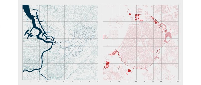
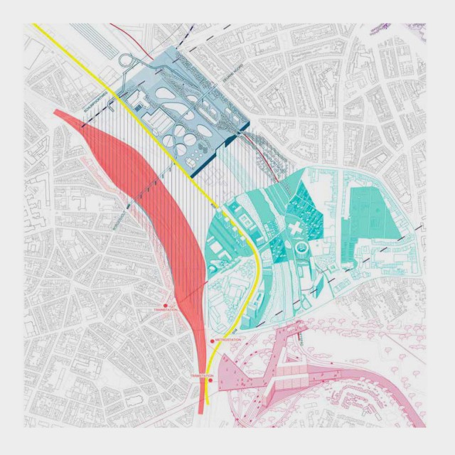
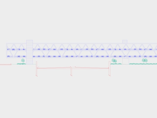
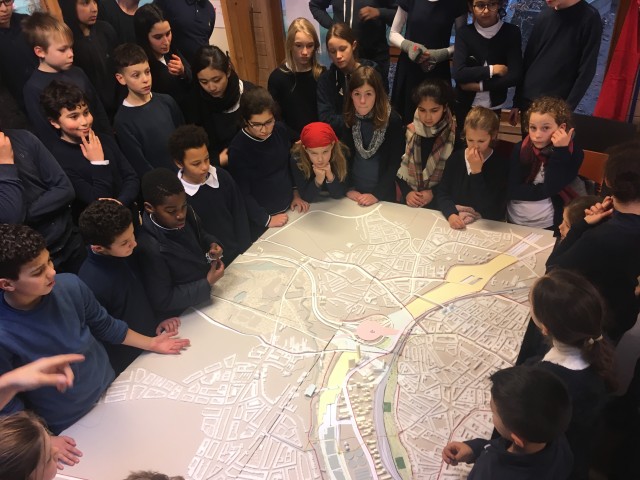
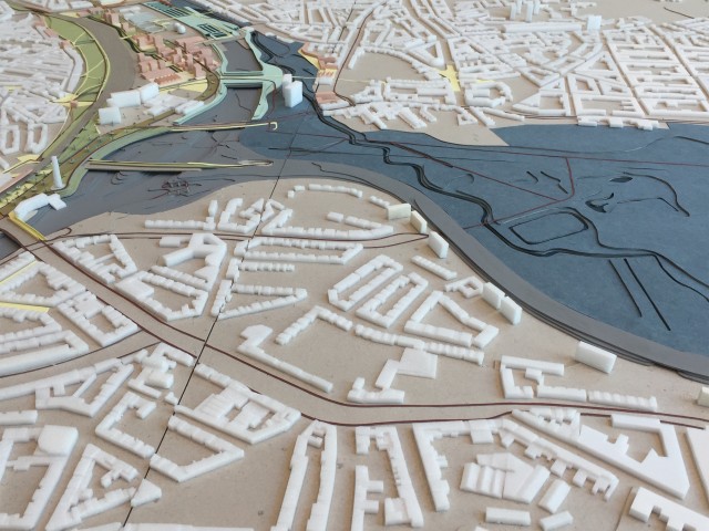
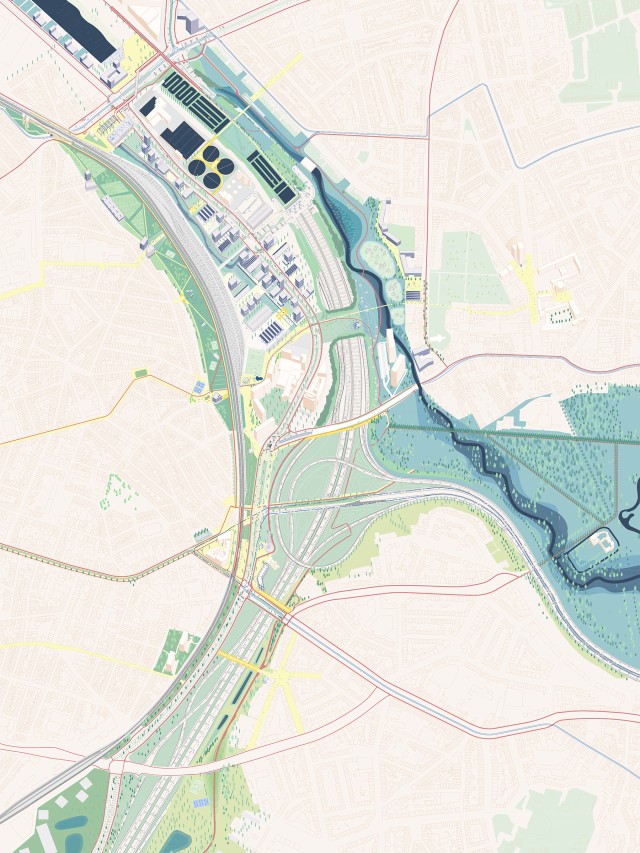
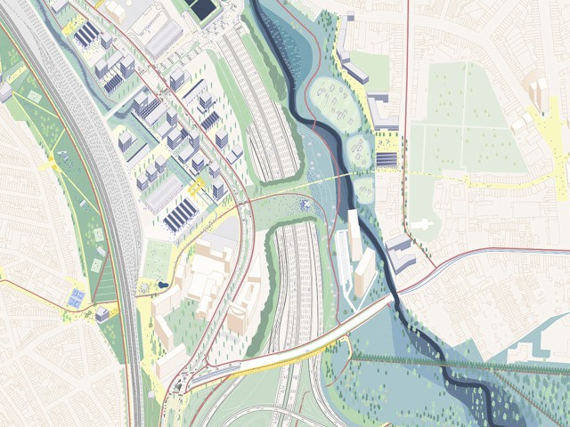
The Antwerp ring road was built in the 1970s on the site of the city’s former fortifications. It was intended to facilitate the local and trans-European flow of both goods and people, with the port as a major driver. While it was originally positioned to bypass living environment, its location, together with its violent impact, became increasingly central in the booming city of Antwerp. A second planning phase in the 1990s to complete the road network created the opportunity for the city’s residents to demand a more integrated approach and create a positive project. Through an impressive process of civilian participation, the ‘Covering the ring road’ project was born. A proposal to turn the ring road into an actual part of the city with the aim of reconnecting neighbourhoods, creating space for natural environments and multimodal mobility. Out of five teams that worked in parallel on different parts, the team of 51N4E was chosen to work on the eastern part of the city, an environment dominated by high-density neighbourhoods, disrupted regional waterflows, and hectares of residual infrastructural space. In order to actually contribute to this diverse environment, we created a design method rooted in the potential of these dominant factors rather than the conflict they create. This design method enabled us to work with a wide range of people on the future use and identity of the east of Antwerp. Radical choices were made to reorganize the mobility infrastructure for the sake of the public space and surgical interventions were made to connect the existing with the new.
-
Location
Antwerp, Belgium
-
Client
Flemish government (Mobility and public construction), City of Antwerp
-
Completion
Ongoing
-
In collaboration with
H+N+S, Endeavour, Bollinger Grohmann, Mobility in chain
-
51N4E project team
Harold Vermeiren, Freek Persyn, Dieter Leyssen, Kana Arioka, Aurèle Rattez, Samia Wahbi
-
51N4E involvement
Urban planning, Design, Process
-
Structural engineer
Bollinger Grohmann
-
Landscape
H+N+S
-
Programme
Public space, road&rail networks, housing, parks, water
-
Site surface
300 Hectares
